Tamahere Suburbs & Region, Tamahere Map & Postcodes in Tamahere, Hamilton, Waikato
Tamahere Postcodes, Tamahere ZipCodes, Tamahere , Tamahere Waikato, Tamahere Suburbs, Tamahere Region, Tamahere Map, Tamahere Area
Tamahere Region (Bruntwood, Hautapu Region)
Tamahere Suburbs
Tamahere is a suburb place type in Hamilton, Waikato, NZ. It contains 0 suburbs or localities.Tamahere Postcodes
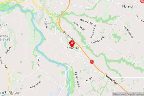
Tamahere Region Map
Tamahere Introduction
Tamahere is a small town in Waikato, New Zealand, located on State Highway 1. It is situated between Hamilton and Cambridge and has a population of around 1,200 people. The town is known for its beautiful gardens and historic buildings, including the Tamahere Hall, which was built in 1887. Tamahere also has a popular golf course and a community center. The town is surrounded by farmland and has a peaceful rural atmosphere.Tamahere Region
Tamahere City
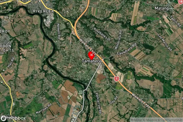
Tamahere Satellite Map
Full Address
Tamahere, Hamilton, WaikatoTamahere Coordinates
-37.828651,175.351476 (Latitude / Longitude)Tamahere Map in NZ
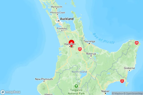
NZ Island
North IslandCountry
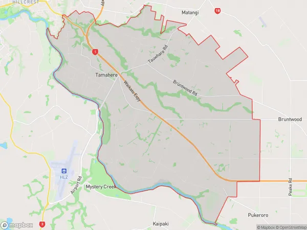
Tamahere Area Map (Polygon)
Name
TamahereAdditional Name
Bruntwood, HautapuLocal Authority
Waikato District
Tamahere Suburbs (Sort by Population)
Tamahere also known as Bruntwood, Hautapu. Tamahere suburb has around
58.6 square
kilometers.There are more than 5839 people (estimated)
live in Tamahere, Hamilton, Waikato, New Zealand.