Tamahere Area, Tamahere Postcode(3283) & Map in Tamahere
Tamahere Area, Tamahere Postcode(3283) & Map in Tamahere, Waikato District, New Zealand
Tamahere, Waikato District, New Zealand
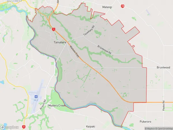
Tamahere Area (estimated)
58.6 square kilometersTamahere Population (estimated)
5839 people live in Tamahere, Waikato, NZTamahere Suburb Area Map (Polygon)
Tamahere Introduction
Tamahere is a small rural community in Hamilton, Waikato, New Zealand. It is known for its beautiful countryside, historic buildings, and friendly community. The area has a rich history, with early Māori settlements and a strong agricultural tradition. Tamahere also has a popular golf course and a variety of recreational facilities, including a swimming pool and tennis courts.Region
Major City
Suburb Name
TamahereOther Name(s)
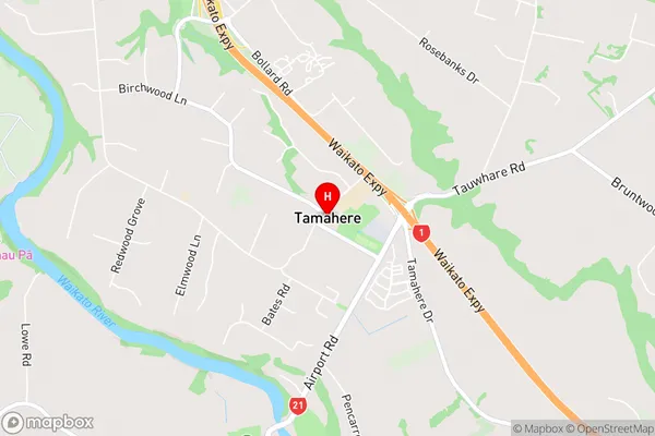
Bruntwood, HautapuTamahere Area Map (Street)
Local Authority
Waikato DistrictFull Address
Tamahere, Waikato District, New ZealandAddress Type
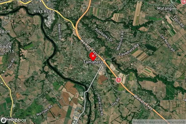
Locality in City HamiltonTamahere Suburb Map (Satellite)
Country
Main Region in AU
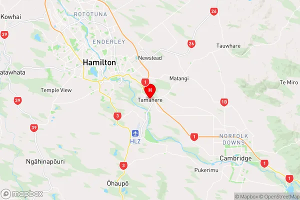
WaikatoTamahere Region Map
Coordinates
-37.8286509,175.3514757 (latitude/longitude)Distances
The distance from Tamahere, Hamilton, Waikato District to NZ Top 10 Cities