Okoroire Suburbs & Region, Okoroire Map & Postcodes in Okoroire, Tirau, Waikato
Okoroire Postcodes, Okoroire ZipCodes, Okoroire , Okoroire Waikato, Okoroire Suburbs, Okoroire Region, Okoroire Map, Okoroire Area
Okoroire Region (North Putaruru, Waiomou Region)
Okoroire Suburbs
Okoroire is a suburb place type in Tirau, Waikato, NZ. It contains 0 suburbs or localities.Okoroire Postcodes
Okoroire district
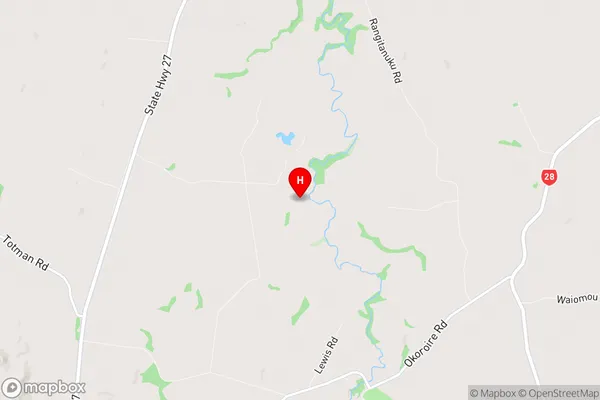
South WaikatoOkoroire Region Map

Okoroire Introduction
Waikato is a region in the North Island of New Zealand. It is well-known for its lush green landscapes, rolling hills, and stunning rivers. One of the most popular destinations in Waikato is the town of Okoroire, located on the banks of the Okoroire River. Okoroire is a small town with a population of around 500 people. It is a popular destination for outdoor enthusiasts, with many opportunities for hiking, biking, and fishing. The town is also home to the Okoroire Hot Springs, a popular spot for soaking in natural hot pools and enjoying the stunning views of the surrounding countryside. The town has a rich history and was once a significant Maori settlement. It is home to the Okoroire Pa, a historic Maori fortification that dates back to the 13th century. The pa is a popular tourist attraction and offers visitors a glimpse into the traditional Maori way of life. Okoroire is also known for its annual festival, the Okoroire Festival of Lights, which takes place in late November and early December. The festival features a stunning display of lights and fireworks set against the backdrop of the Okoroire River. Overall, Okoroire is a charming town with a lot to offer visitors. Its natural beauty, rich history, and friendly community make it a popular destination for those looking to escape the hustle and bustle of city life.Okoroire Region
Okoroire City
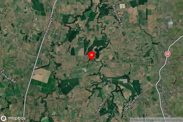
Okoroire Satellite Map

Full Address
Okoroire, Tirau, WaikatoOkoroire Coordinates
-37.92641,175.79335 (Latitude / Longitude)Okoroire Map in NZ

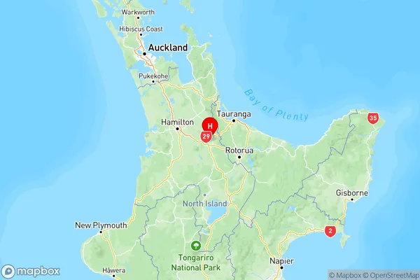
NZ Island
North IslandCountry
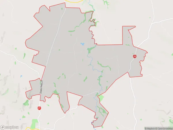
Okoroire Area Map (Polygon)

Name
OkoroireAdditional Name
North Putaruru, WaiomouLocal Authority
Matamata-Piako District, South Waikato District
Okoroire Suburbs (Sort by Population)
Okoroire also known as North Putaruru, Waiomou. Okoroire suburb has around
51.5 square
kilometers.There are more than 362 people (estimated)
live in Okoroire, Tirau, Waikato, New Zealand.