Okoroire Area, Okoroire Postcode(3485) & Map in Okoroire, Matamata-Piako District
Okoroire Area, Okoroire Postcode(3485) & Map in Okoroire, Matamata-Piako District, South Waikato District, New Zealand
Okoroire, Matamata-Piako District, South Waikato District, New Zealand
Okoroire Area (estimated)
51.5 square kilometersOkoroire Population (estimated)
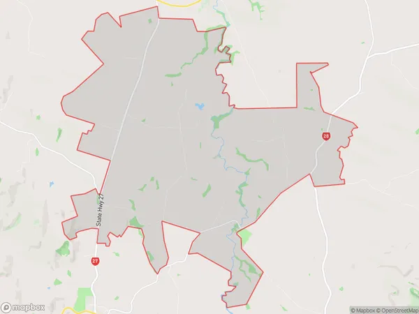
362 people live in Okoroire, Waikato, NZOkoroire Suburb Area Map (Polygon)
Okoroire Introduction
Okoroire is a small rural town in the Waikato region of New Zealand. It is known for its stunning natural scenery, including the Okoroire Forest and the Okoroire Hot Springs. The town has a population of around 100 people and is located on the banks of the Okoroire River. It is a popular destination for outdoor enthusiasts, with many opportunities for hiking, cycling, and fishing.Region
Major City
Suburb Name
OkoroireOther Name(s)
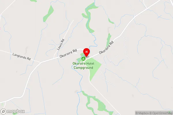
North Putaruru, WaiomouOkoroire Area Map (Street)
Local Authority
Matamata-Piako District, South Waikato DistrictFull Address
Okoroire, Matamata-Piako District, South Waikato District, New ZealandAddress Type
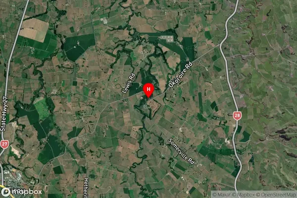
Suburb in Town TirauOkoroire Suburb Map (Satellite)
Country
Main Region in AU
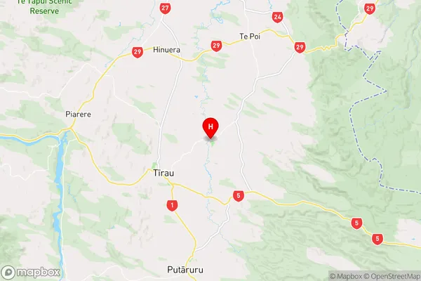
WaikatoOkoroire Region Map
Coordinates
-37.9517271,175.8047462 (latitude/longitude)Distances
The distance from Okoroire, Tirau, Matamata-Piako District, South Waikato District to NZ Top 10 Cities