Honikiwi Suburbs & Region, Honikiwi Map & Postcodes in Honikiwi, Otorohanga, Waikato
Honikiwi Postcodes, Honikiwi ZipCodes, Honikiwi , Honikiwi Waikato, Honikiwi Suburbs, Honikiwi Region, Honikiwi Map, Honikiwi Area
Honikiwi Region
Honikiwi Suburbs
Honikiwi is a suburb place type in Otorohanga, Waikato, NZ. It contains 0 suburbs or localities.Honikiwi Postcodes
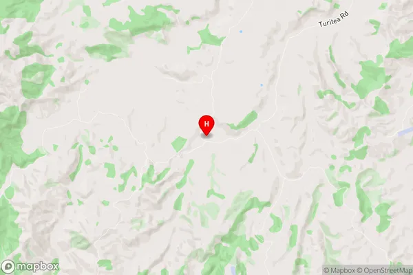
Honikiwi Region Map
Honikiwi Introduction
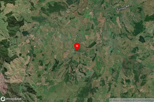
Honikiwi is a small rural community in the Waikato region of New Zealand. It is located on State Highway 1, approximately 30 kilometers south of Hamilton. The community has a population of around 100 people and is known for its scenic rural setting and peaceful atmosphere. The area is popular with outdoor enthusiasts, with many walking and cycling trails nearby. There is also a small community hall and a convenience store in the village.Honikiwi Region
Honikiwi City
Honikiwi Satellite Map
Full Address
Honikiwi, Otorohanga, WaikatoHonikiwi Coordinates
-38.148057,175.11898 (Latitude / Longitude)Honikiwi Map in NZ
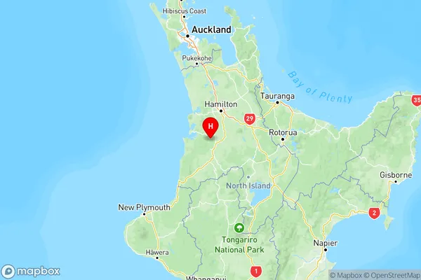
NZ Island
North IslandCountry
Honikiwi Area Map (Polygon)
Not available for nowName
HonikiwiAdditional Name
Local Authority
Otorohanga District (Maori Name: Ōtorohanga District)
Honikiwi Suburbs (Sort by Population)
Honikiwi suburb has around
-1.2 square
kilometers.There are more than 238 people (estimated)
live in Honikiwi, Otorohanga, Waikato, New Zealand.