Umawera Suburbs & Region, Umawera Map & Postcodes in Umawera, Okaihau, Northland
Umawera Postcodes, Umawera ZipCodes, Umawera , Umawera Northland, Umawera Suburbs, Umawera Region, Umawera Map, Umawera Area
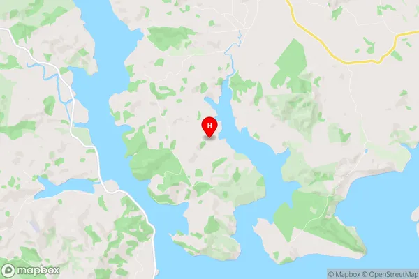
Umawera Region (Kahikatoa, Orira, Rangiahua, Rawhia, Urawera Region)
Umawera Suburbs
Umawera is a suburb place type in Okaihau, Northland, NZ. It contains 0 suburbs or localities.Umawera Postcodes
Umawera district
Far NorthUmawera Region Map
Umawera Introduction
Umawera is a small town in Northland, New Zealand, located on the banks of the Hokianga Harbour. It is known for its beautiful beaches, lush forests, and historic Maori settlements. The town has a population of around 1,000 people and is a popular destination for tourists and outdoor enthusiasts. The area is rich in cultural heritage, with several important Maori sites nearby, including the Hokianga Treaty Grounds and the Te Papa-Otaihape Museum. The town also has a variety of recreational facilities, including a golf course, a swimming pool, and a tennis court.Umawera Region
Umawera City
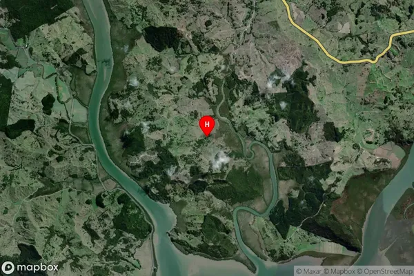
Umawera Satellite Map
Full Address
Umawera, Okaihau, NorthlandUmawera Coordinates
-35.316831,173.557999 (Latitude / Longitude)Umawera Map in NZ
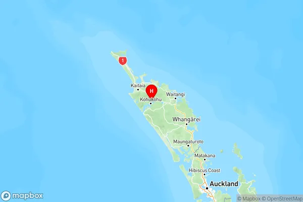
NZ Island
North IslandCountry
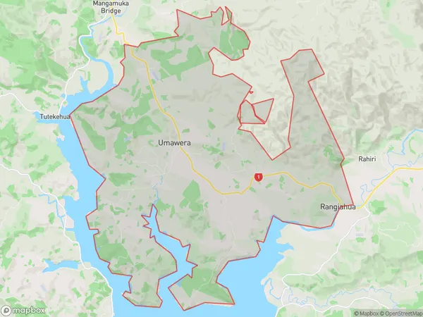
Umawera Area Map (Polygon)
Name
UmaweraAdditional Name
Kahikatoa, Orira, Rangiahua, Rawhia, UraweraLocal Authority
Far North District
Umawera Suburbs (Sort by Population)
Umawera also known as Kahikatoa, Orira, Rangiahua, Rawhia, Urawera. Umawera suburb has around
84.7 square
kilometers.There are more than 256 people (estimated)
live in Umawera, Kaikohe-Hokianga Community, Northland, New Zealand.