Umawera Area, Umawera Postcode(0476) & Map in Umawera
Umawera Area, Umawera Postcode(0476) & Map in Umawera, Far North District, New Zealand
Umawera, Far North District, New Zealand
Umawera Postcodes
Umawera Area (estimated)
84.7 square kilometersUmawera Population (estimated)
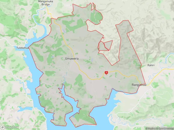
256 people live in Umawera, Kaikohe-Hokianga Community, NZUmawera Suburb Area Map (Polygon)
Umawera Introduction
Umawera is a small rural community in Northland, New Zealand, located on the banks of the Okaihau River. It is known for its stunning natural scenery, including waterfalls, forests, and beaches. The community has a population of around 100 people and is home to a primary school, a post office, and a small supermarket. The area is popular with tourists and outdoor enthusiasts, who enjoy hiking, fishing, and kayaking in the surrounding rivers and forests.Region
Major City
Suburb Name
UmaweraOther Name(s)
Kahikatoa, Orira, Rangiahua, Rawhia, UraweraUmawera Area Map (Street)

Local Authority
Far North DistrictFull Address
Umawera, Far North District, New ZealandAddress Type
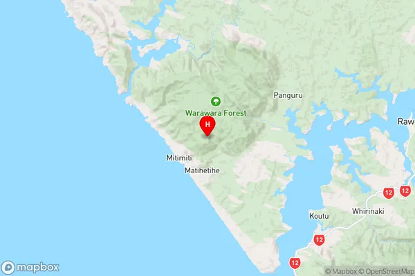
Locality in Town OkaihauUmawera Suburb Map (Satellite)
Country
Main Region in AU
NorthlandUmawera Region Map
Coordinates
-35.4132334,173.3020923 (latitude/longitude)Distances
The distance from Umawera, Okaihau, Far North District to NZ Top 10 Cities