Parakao Suburbs & Region, Parakao Map & Postcodes in Parakao, Whangarei, Northland
Parakao Postcodes, Parakao ZipCodes, Parakao , Parakao Northland, Parakao Suburbs, Parakao Region, Parakao Map, Parakao Area
Parakao Region
Parakao Suburbs
Parakao is a suburb place type in Whangarei, Northland, NZ. It contains 0 suburbs or localities.Parakao Postcodes
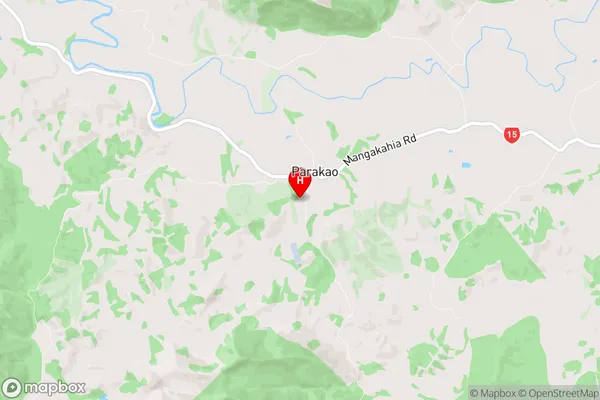
Parakao Region Map
Parakao Introduction
Parakao is a small town in Northland, New Zealand, located on the banks of the Hokianga Harbour. It is known for its scenic surroundings, including the Parakao Forest and the Parakao Rocks. The town has a population of around 1,000 people and is a popular destination for tourists and outdoor enthusiasts. The town is also home to a number of historic buildings, including the Parakao School and the Parakao Church.Parakao Region
Parakao City
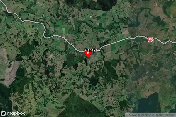
Parakao Satellite Map
Full Address
Parakao, Whangarei, NorthlandParakao Coordinates
-35.717846,173.95225 (Latitude / Longitude)Parakao Map in NZ
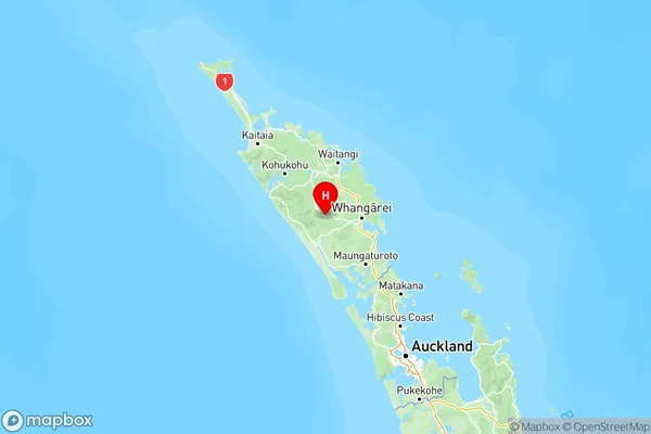
NZ Island
North IslandCountry
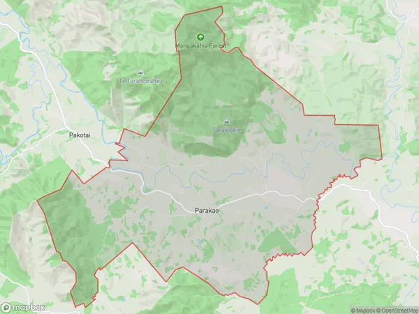
Parakao Area Map (Polygon)
Name
ParakaoAdditional Name
Local Authority
Whangarei District
Parakao Suburbs (Sort by Population)
Parakao suburb has around
90.5 square
kilometers.There are more than 222 people (estimated)
live in Parakao, Whangarei, Northland, New Zealand.