Hauraki Gulf Islands Suburbs & Region, Hauraki Gulf Islands Map & Postcodes in Hauraki Gulf Islands, Auckland
Hauraki Gulf Islands Postcodes, Hauraki Gulf Islands ZipCodes, Hauraki Gulf Islands , Hauraki Gulf Islands Auckland, Hauraki Gulf Islands Suburbs, Hauraki Gulf Islands Region, Hauraki Gulf Islands Map, Hauraki Gulf Islands Area
Hauraki Gulf Islands Region
Hauraki Gulf Islands Suburbs
Hauraki Gulf Islands is a district place type in Auckland, NZ. It contains 4 suburbs or localities.Hauraki Gulf Islands district
Hauraki Gulf IslandsHauraki Gulf Islands Introduction
The Hauraki Gulf Islands are a group of islands located in the Hauraki Gulf of New Zealand's Auckland Region. The islands are a popular destination for tourists and locals alike, with many beautiful beaches, scenic walks, and wildlife to explore. The largest island in the group is Rangitoto Island, which is a volcanic cone and has a population of around 500 people. Other popular islands include Waiheke Island, Kawau Island, and Tiritiri Island, which are known for their stunning natural beauty, vineyards, and olive groves. The islands are also home to a variety of marine life, including dolphins, whales, and seals. The Hauraki Gulf Islands are easily accessible from Auckland, with regular ferry services operating to the islands. The islands are a great place to relax and escape the hustle and bustle of city life, with plenty of opportunities for hiking, fishing, and kayaking.Hauraki Gulf Islands Region
Hauraki Gulf Islands City
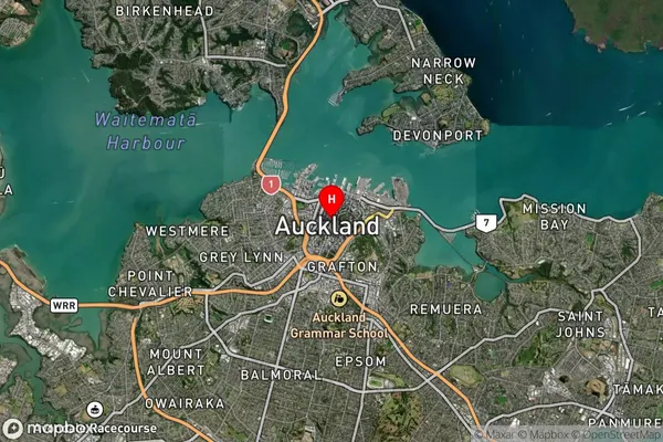
Hauraki Gulf Islands Satellite Map

Full Address
Hauraki Gulf Islands, AucklandHauraki Gulf Islands Coordinates
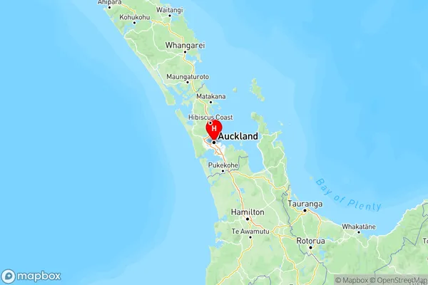
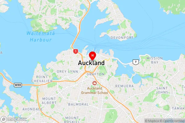
-36.8508827,174.7644881 (Latitude / Longitude)Hauraki Gulf Islands Map in NZ

NZ Island
North IslandCountry
Hauraki Gulf Islands Suburbs (Sort by Population)
Hauraki Gulf Islands Suburbs (Sort in alphabetical)
Great Barrier Island
Kawau Island
Other Islands
Rakino Island
