Kawau Island Suburbs & Region, Kawau Island Map & Postcodes in Kawau Island, Hauraki Gulf Islands, Auckland
Kawau Island Postcodes, Kawau Island ZipCodes, Kawau Island , Kawau Island Auckland, Kawau Island Suburbs, Kawau Island Region, Kawau Island Map, Kawau Island Area
Kawau Island Region (Hauraki Gulf Region)
Kawau Island Suburbs
Kawau Island is a suburb place type in Hauraki Gulf Islands, Auckland, NZ. It contains 1 suburbs or localities.Kawau Island Postcodes
Kawau Island district
Hauraki Gulf IslandsKawau Island Introduction
Kawau Island is a small, privately owned island in the Hauraki Gulf of New Zealand. It is known for its rugged landscape, pristine beaches, and diverse wildlife. The island has a population of around 100 people and is accessible by ferry from Auckland. It is a popular destination for outdoor activities such as hiking, kayaking, and fishing, and is also home to a historic stone fort. The island has a rich cultural heritage, with evidence of early Māori settlement and European colonization. It is also home to a variety of bird species, including the rare kiwi bird.Kawau Island Region
Kawau Island City
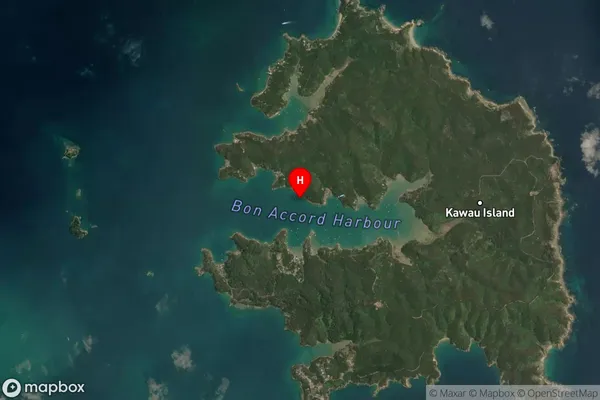
Kawau Island Satellite Map

Full Address
Kawau Island, Hauraki Gulf Islands, AucklandKawau Island Coordinates
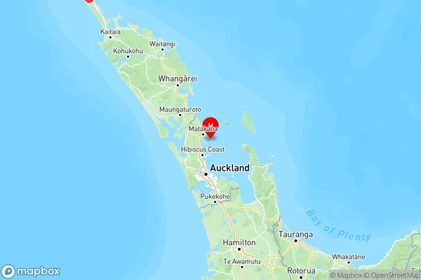
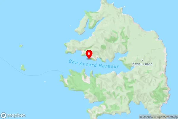
-36.421203,174.832654 (Latitude / Longitude)Kawau Island Map in NZ

NZ Island
North IslandCountry
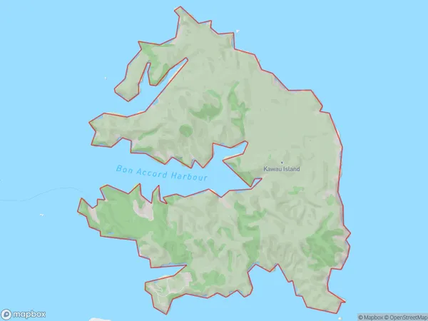
Kawau Island Area Map (Polygon)

Name
Kawau IslandAdditional Name
Hauraki GulfLocal Authority
Auckland
Kawau Island Suburbs (Sort by Population)
Kawau Island
Kawau Island - 62
