Kawau Island Area, Kawau Island Postcode(0920) & Map in Kawau Island
Kawau Island Area, Kawau Island Postcode(0920) & Map in Kawau Island, Auckland, New Zealand
Kawau Island, Auckland, New Zealand
Kawau Island Postcodes
Kawau Island Area (estimated)
24.7 square kilometersKawau Island Population (estimated)
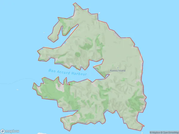
62 people live in Kawau Island, Rodney, NZKawau Island Suburb Area Map (Polygon)
Kawau Island Introduction
Kawau Island is a small, privately owned island in the Hauraki Gulf, located just off the coast of Auckland, New Zealand. It is known for its stunning natural beauty, including rugged cliffs, sandy beaches, and lush forests. The island has a population of around 300 people and is home to a variety of wildlife, including birds, bats, and marine mammals. Visitors can reach the island by ferry from Auckland or by private boat. The island has a range of accommodation options, including a hotel and a campground.Region
Major City
Suburb Name
Kawau IslandOther Name(s)
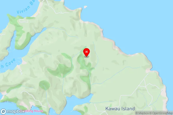
Hauraki GulfKawau Island Area Map (Street)
Local Authority
AucklandFull Address
Kawau Island, Auckland, New ZealandAddress Type
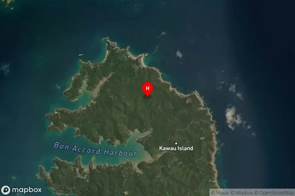
Island in Major Locality Kawau IslandKawau Island Suburb Map (Satellite)
Country
Main Region in AU
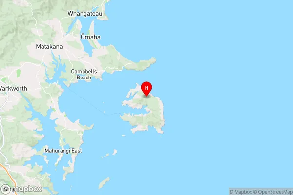
AucklandKawau Island Region Map
Coordinates
-36.4087842,174.8535534 (latitude/longitude)Distances
The distance from Kawau Island, Kawau Island, Auckland to NZ Top 10 Cities