Te Kohanga Suburbs & Region, Te Kohanga Map & Postcodes in Te Kohanga, Franklin, Auckland
Te Kohanga Postcodes, Te Kohanga ZipCodes, Te Kohanga , Te Kohanga Waikato, Te Kohanga Suburbs, Te Kohanga Region, Te Kohanga Map, Te Kohanga Area
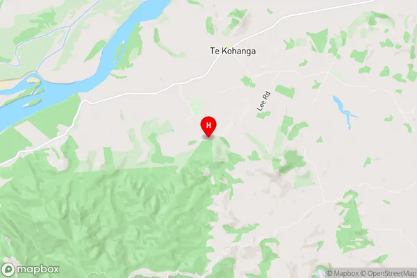
Te Kohanga Region
Te Kohanga Suburbs
Te Kohanga is a suburb place type in Franklin, Auckland, NZ. It contains 1 suburbs or localities.Te Kohanga district
FranklinTe Kohanga Introduction
Te Kohanga, Waikato, New Zealand, is a small rural community located on the banks of the Waikato River. It is known for its beautiful natural surroundings, including lush green fields, towering trees, and the stunning Waikato River. The community is home to a vibrant Maori culture, with many residents practicing traditional Maori crafts and customs. Te Kohanga also has a primary school, a post office, and a small supermarket. The community is surrounded by picturesque farmland and is only a short drive from the city of Hamilton.Te Kohanga Region
Te Kohanga City
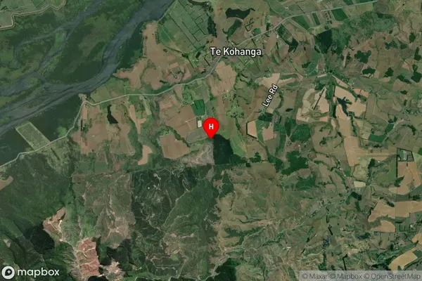
Te Kohanga Satellite Map

Full Address
Te Kohanga, Franklin, AucklandTe Kohanga Coordinates
-37.331452,174.84082 (Latitude / Longitude)Te Kohanga Map in NZ

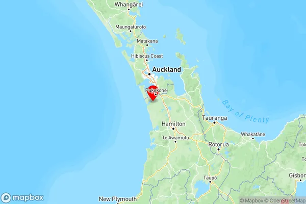
NZ Island
North IslandCountry
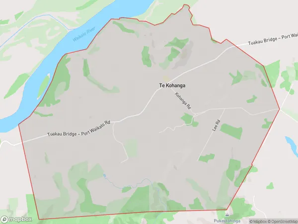
Te Kohanga Area Map (Polygon)

Name
Te KohangaAdditional Name
Local Authority
Waikato District
Te Kohanga Suburbs (Sort by Population)
Te Kohanga
Te Kohanga - 307
