Te Kohanga Area, Te Kohanga Postcode(2693) & Map in Te Kohanga
Te Kohanga Area, Te Kohanga Postcode(2693) & Map in Te Kohanga, Waikato District, New Zealand
Te Kohanga, Waikato District, New Zealand
Te Kohanga Area (estimated)
17.9 square kilometersTe Kohanga Population (estimated)
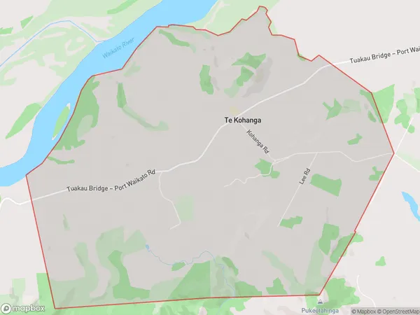
307 people live in Te Kohanga, Waikato, NZTe Kohanga Suburb Area Map (Polygon)

Te Kohanga Introduction
Te Kohanga, Te Kohanga, Waikato, NZ, is a Māori-language preschool and primary school. It is co-educational and provides a unique curriculum that combines traditional Māori values and practices with modern teaching methods. The school has a strong focus on cultural identity, language, and the arts, and has a reputation for producing well-rounded students who are confident and successful in their academic and personal lives.Region
Major City
Suburb Name
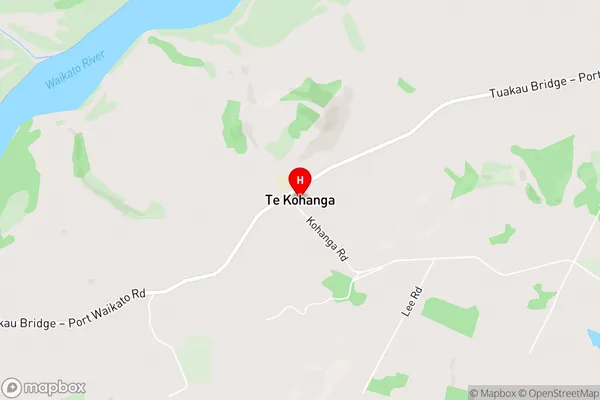
Te KohangaTe Kohanga Area Map (Street)

Local Authority
Waikato DistrictFull Address
Te Kohanga, Waikato District, New ZealandAddress Type
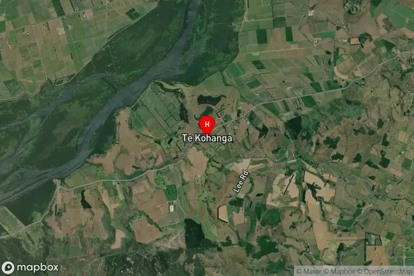
Locality in Major Locality Te KohangaTe Kohanga Suburb Map (Satellite)

Country
Main Region in AU
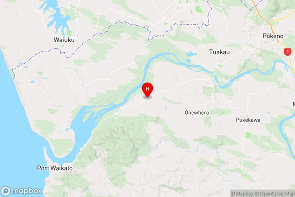
WaikatoTe Kohanga Region Map

Coordinates
-37.3141508,174.8468328 (latitude/longitude)Distances
The distance from Te Kohanga, Te Kohanga, Waikato District to NZ Top 10 Cities