Pollok Suburbs & Region, Pollok Map & Postcodes in Pollok, Franklin, Auckland
Pollok Postcodes, Pollok ZipCodes, Pollok , Pollok Auckland, Pollok Suburbs, Pollok Region, Pollok Map, Pollok Area
Pollok Region (Kohekohe, Te Toro, Waipipi Region)
Pollok Suburbs
Pollok is a suburb place type in Franklin, Auckland, NZ. It contains 1 suburbs or localities.Pollok Postcodes
Pollok district
FranklinPollok Introduction
Pollok is a suburb of Auckland, New Zealand, located in the southern part of the city. It is known for its large population of Pacific Islanders and has a vibrant cultural community. The suburb has a number of popular attractions, including Pollok Park, which is a popular destination for picnics and outdoor activities, and the Pollok Shopping Centre, which offers a range of retail and food options. Pollok is also home to a number of schools, including Pollok Primary School and St. Paul's College.Pollok Region
Pollok City
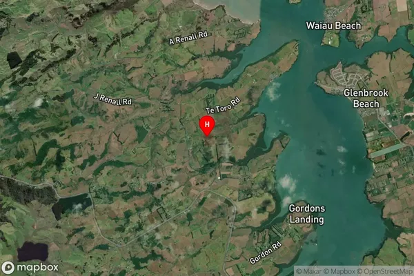
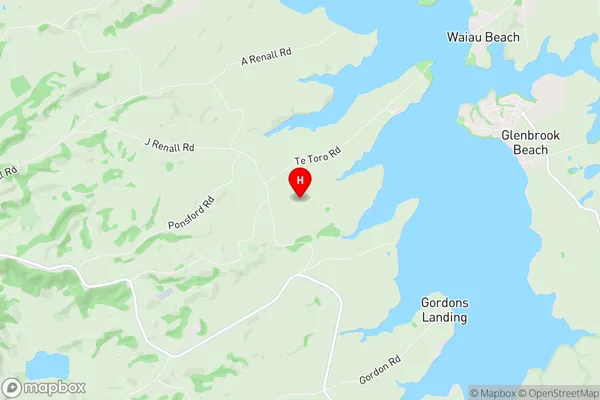
Pollok Satellite Map

Full Address
Pollok, Franklin, AucklandPollok Coordinates
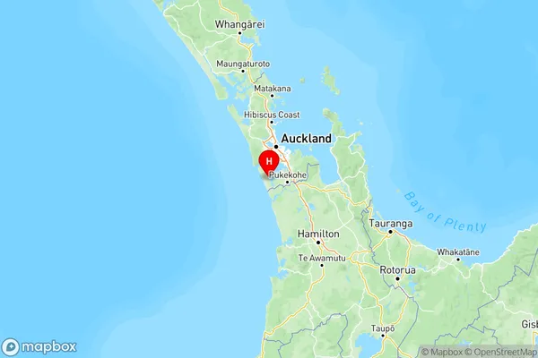
-37.170102,174.676164 (Latitude / Longitude)Pollok Map in NZ

NZ Island
North IslandCountry
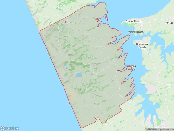
Pollok Area Map (Polygon)

Name
PollokAdditional Name
Kohekohe, Te Toro, WaipipiLocal Authority
Auckland
Pollok Suburbs (Sort by Population)
Pollok
Pollok - 1409
