Pollok Area, Pollok Postcode(2684) & Map in Pollok
Pollok Area, Pollok Postcode(2684) & Map in Pollok, Auckland, New Zealand
Pollok, Auckland, New Zealand
Pollok Postcodes
Pollok Area (estimated)
116.2 square kilometersPollok Population (estimated)
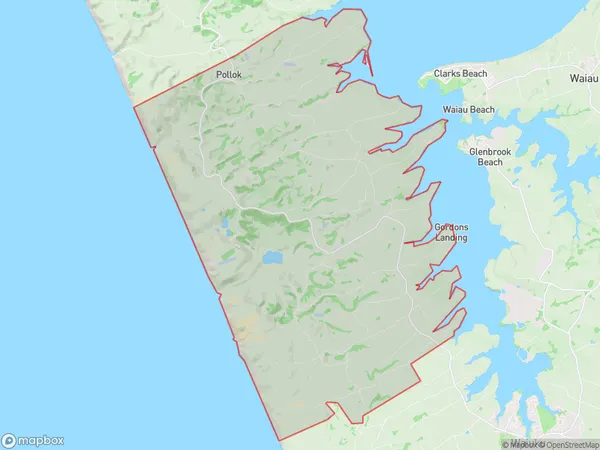
1409 people live in Pollok, Franklin, NZPollok Suburb Area Map (Polygon)
Pollok Introduction
Pollok is a suburb of Auckland, New Zealand, located in the southern part of the city. It is known for its large population of Asian immigrants and has a diverse range of cultures and languages. The suburb has a number of shopping centers, parks, and recreational facilities, and is well-connected to the rest of the city by public transport.Region
Major City
Suburb Name
PollokOther Name(s)
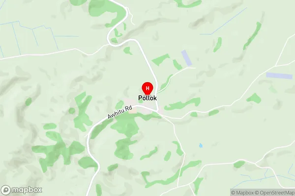
Kohekohe, Te Toro, WaipipiPollok Area Map (Street)
Local Authority
AucklandFull Address
Pollok, Auckland, New ZealandAddress Type
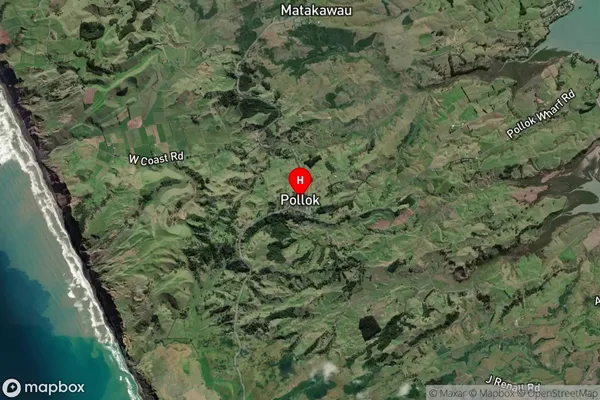
Locality in Town PollokPollok Suburb Map (Satellite)
Country
Main Region in AU
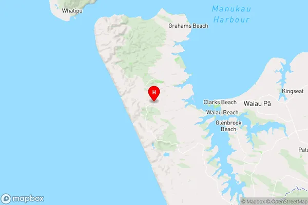
AucklandPollok Region Map
Coordinates
-37.1372179,174.6161619 (latitude/longitude)Distances
The distance from Pollok, Pollok, Auckland to NZ Top 10 Cities