Patumahoe Suburbs & Region, Patumahoe Map & Postcodes in Patumahoe, Franklin, Auckland
Patumahoe Postcodes, Patumahoe ZipCodes, Patumahoe , Patumahoe Auckland, Patumahoe Suburbs, Patumahoe Region, Patumahoe Map, Patumahoe Area
Patumahoe Region (Sedgebrook Region)
Patumahoe Suburbs
Patumahoe is a suburb place type in Franklin, Auckland, NZ. It contains 0 suburbs or localities.Patumahoe Postcodes
Patumahoe district
FranklinPatumahoe Region Map

Patumahoe Introduction
Patumahoe is a suburb of Auckland, New Zealand. It is located in the Waitakere City district and is part of the Auckland metropolitan area. The suburb is named after the Patumahoe Hill, which is a prominent landmark in the area. The population of Patumahoe is approximately 10,000 people, and it is known for its rural atmosphere and scenic views. The suburb has a variety of housing options, including single-family homes, apartments, and townhouses. There are several parks and recreational facilities in Patumahoe, including the Patumahoe Park and the Waitakere Ranges Regional Park. The area is also home to several schools, including Patumahoe Primary School and Waitakere College.Patumahoe Region
Patumahoe City
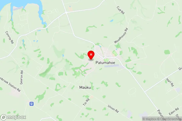
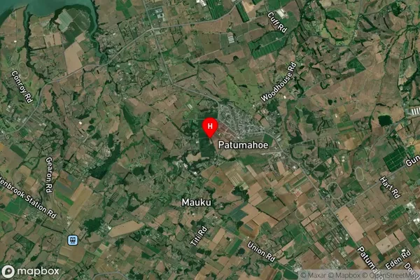
Patumahoe Satellite Map

Full Address
Patumahoe, Franklin, AucklandPatumahoe Coordinates
-37.189162,174.820035 (Latitude / Longitude)Patumahoe Map in NZ

NZ Island
North IslandCountry
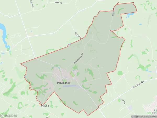
Patumahoe Area Map (Polygon)

Name
PatumahoeAdditional Name
SedgebrookLocal Authority
Auckland
Patumahoe Suburbs (Sort by Population)
Patumahoe also known as Sedgebrook. Patumahoe suburb has around
21.2 square
kilometers.There are more than 1929 people (estimated)
live in Patumahoe, Franklin, Auckland, New Zealand.