Pukekohe Suburbs & Region, Pukekohe Map & Postcodes in Pukekohe, Franklin, Auckland

Pukekohe Postcodes, Pukekohe ZipCodes, Pukekohe , Pukekohe Auckland, Pukekohe Suburbs, Pukekohe Region, Pukekohe Map, Pukekohe Area

Pukekohe Region (Helvetia Region)

  • Pukekohe Suburbs

    Pukekohe is a city place type in Franklin, Auckland, NZ. It contains 9 suburbs or localities.
  • Pukekohe Postcodes

    21202340
  • Pukekohe district

    Franklin
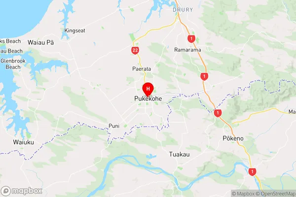
  • Pukekohe Region Map

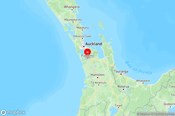
    Pukekohe, Auckland Region Map
  • Pukekohe Introduction

    Pukekohe, a town in the Franklin District of Auckland, is well-known for its rich agricultural history and picturesque surroundings. It is located approximately 35 kilometers south of Auckland City and is surrounded by lush farmland, picturesque parks, and the Waikato River. The town has a population of around 50,000 people and is home to a variety of industries, including farming, manufacturing, and tourism. One of the town's most famous landmarks is the Pukekohe Racecourse, which hosts regular horse racing events and is a popular destination for locals and tourists alike. The town also has a number of heritage buildings, including the Pukekohe Museum, which showcases the region's history and culture.
  • Pukekohe Region

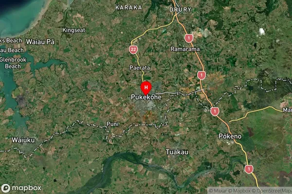
  • Pukekohe Satellite Map

    Pukekohe, Auckland Satellite Map
  • Full Address

    Pukekohe, Franklin, Auckland
  • Pukekohe Coordinates

    -37.200638,174.903687 (Latitude / Longitude)
  • Pukekohe Map in NZ

    Pukekohe, Auckland Region Map
  • NZ Island

    North Island
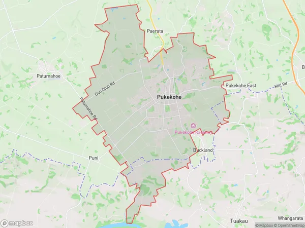
  • Pukekohe Area Map (Polygon)

    Pukekohe, Auckland Polygon Area Map
  • Name

    Pukekohe
  • Additional Name

    Helvetia
  • Local Authority

    Auckland, Waikato District

Pukekohe Suburbs (Sort by Population)

Pukekohe Suburbs (Sort in alphabetical)