Glenbrook Suburbs & Region, Glenbrook Map & Postcodes in Glenbrook, Franklin, Auckland
Glenbrook Postcodes, Glenbrook ZipCodes, Glenbrook , Glenbrook Auckland, Glenbrook Suburbs, Glenbrook Region, Glenbrook Map, Glenbrook Area
Glenbrook Region (Glenbrook Beach, Mission Bush Region)
Glenbrook Suburbs
Glenbrook is a suburb place type in Franklin, Auckland, NZ. It contains 1 suburbs or localities.Glenbrook Postcodes
Glenbrook district
FranklinGlenbrook Introduction
Glenbrook is a suburb of Auckland, New Zealand, located in the Waitakere City Council area. It is known for its peaceful atmosphere, scenic views, and well-maintained homes. The area has a variety of recreational facilities, including parks, golf courses, and swimming pools, and is popular with families and retirees. Glenbrook is also home to several major businesses and industries, including the Glenbrook Shopping Centre and the Westfield Albany Shopping Centre. The suburb is well-connected to other parts of Auckland via public transport, and is only a short drive from the city centre.Glenbrook Region
Glenbrook City
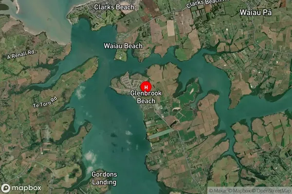
Glenbrook Satellite Map

Full Address
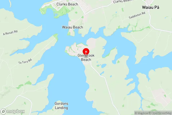
Glenbrook, Franklin, AucklandGlenbrook Coordinates
-37.162239,174.715726 (Latitude / Longitude)Glenbrook Map in NZ

NZ Island
North IslandCountry
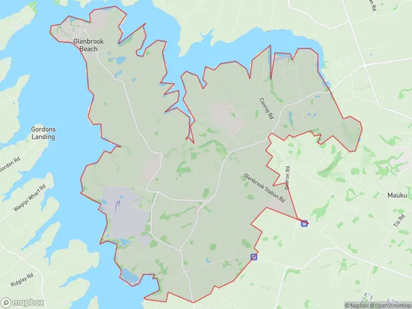
Glenbrook Area Map (Polygon)

Name
GlenbrookAdditional Name
Glenbrook Beach, Mission BushLocal Authority
Auckland
Glenbrook Suburbs (Sort by Population)
Glenbrook
Glenbrook - 1929
