Glenbrook Area, Glenbrook Postcode(2681) & Map in Glenbrook
Glenbrook Area, Glenbrook Postcode(2681) & Map in Glenbrook, Auckland, New Zealand
Glenbrook, Auckland, New Zealand
Glenbrook Postcodes
Glenbrook Area (estimated)
46.6 square kilometersGlenbrook Population (estimated)
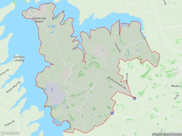
1929 people live in Glenbrook, Franklin, NZGlenbrook Suburb Area Map (Polygon)
Glenbrook Introduction
Glenbrook is a suburb of Auckland, New Zealand, located in the North Shore City Council area. It is known for its peaceful atmosphere, scenic surroundings, and well-maintained homes. The area has a variety of recreational facilities, including parks, golf courses, and swimming pools, and is popular with families and professionals. Glenbrook is also home to several prestigious schools, including Glenbrook College and St. John's College.Region
Major City
Suburb Name
GlenbrookOther Name(s)
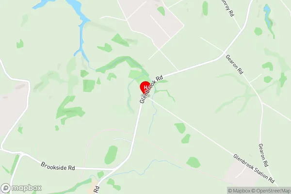
Glenbrook Beach, Mission BushGlenbrook Area Map (Street)
Local Authority
AucklandFull Address
Glenbrook, Auckland, New ZealandAddress Type
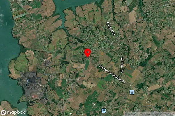
Locality in Town GlenbrookGlenbrook Suburb Map (Satellite)
Country
Main Region in AU
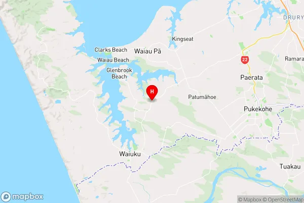
AucklandGlenbrook Region Map
Coordinates
-37.1926213,174.7602215 (latitude/longitude)Distances
The distance from Glenbrook, Glenbrook, Auckland to NZ Top 10 Cities