Prestonville Suburbs & Region, Prestonville Map & Postcodes in Prestonville, Invercargill City, Southland
Prestonville Postcodes, Prestonville ZipCodes, Prestonville , Prestonville Southland, Prestonville Suburbs, Prestonville Region, Prestonville Map, Prestonville Area
Prestonville Region
Prestonville Suburbs
Prestonville is a suburb place type in Invercargill City, Southland, NZ. It contains 0 suburbs or localities.Prestonville Postcodes
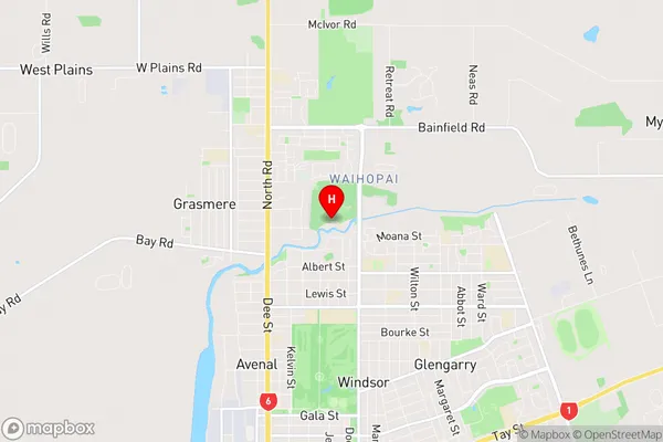
Prestonville Region Map
Prestonville Introduction
Prestonville is a small town in Southland, New Zealand, located on the banks of the Mataura River. It is known for its scenic surroundings, including the Mataura Forest and the surrounding mountains. The town has a population of around 2,000 people and is a popular destination for outdoor activities such as hiking, fishing, and hunting. It is also home to a number of historic buildings, including the Prestonville Hotel, which was built in 1886.Prestonville Region
Prestonville City
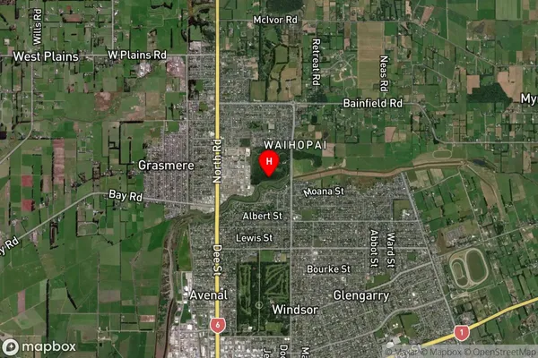
Prestonville Satellite Map
Full Address
Prestonville, Invercargill City, SouthlandPrestonville Coordinates
-46.38558,168.35722 (Latitude / Longitude)Prestonville Map in NZ
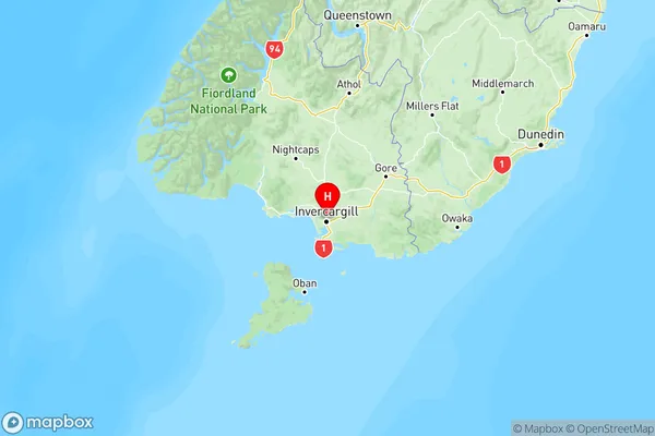
NZ Island
South IslandCountry
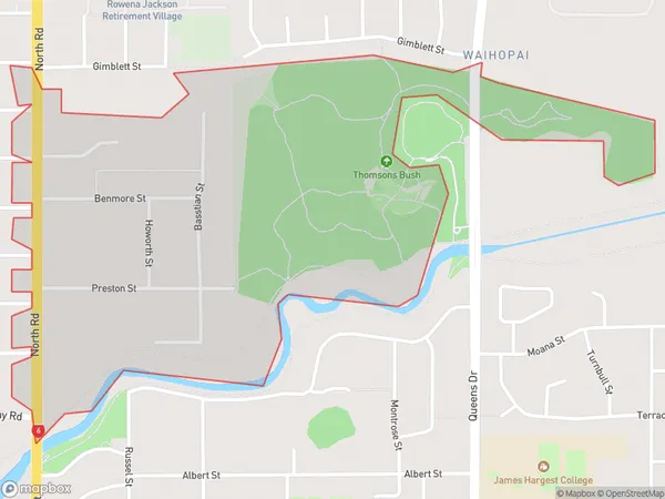
Prestonville Area Map (Polygon)
Name
PrestonvilleAdditional Name
Local Authority
Invercargill City
Prestonville Suburbs (Sort by Population)
Prestonville suburb has around
0.9 square
kilometers.There are more than 68 people (estimated)
live in Prestonville, Invercargill, Southland, New Zealand.