Heidelberg Suburbs & Region, Heidelberg Map & Postcodes in Heidelberg, Invercargill City, Southland
Heidelberg Postcodes, Heidelberg ZipCodes, Heidelberg , Heidelberg Southland, Heidelberg Suburbs, Heidelberg Region, Heidelberg Map, Heidelberg Area
Heidelberg Region
Heidelberg Suburbs
Heidelberg is a suburb place type in Invercargill City, Southland, NZ. It contains 0 suburbs or localities.Heidelberg Postcodes
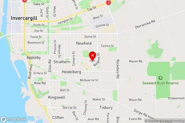
Heidelberg Region Map
Heidelberg Introduction
Heidelberg is a small town in Southland, New Zealand, located on the banks of the Mataura River. It is known for its historic German-style architecture and its scenic surroundings, including the Heidelberg Forest and the surrounding mountains. The town has a population of around 3,000 people and is a popular tourist destination, particularly during the winter months when it is covered in snow. Heidelberg also has a number of historic buildings, including the Heidelberg Hotel, which was built in 1865, and the Heidelberg Stables, which were built in 1877.Heidelberg Region
Heidelberg City
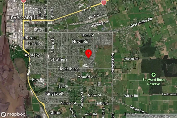
Heidelberg Satellite Map
Full Address
Heidelberg, Invercargill City, SouthlandHeidelberg Coordinates
-46.428555,168.385212 (Latitude / Longitude)Heidelberg Map in NZ
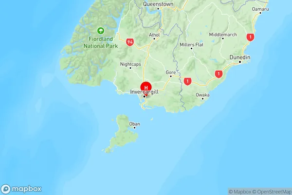
NZ Island
South IslandCountry
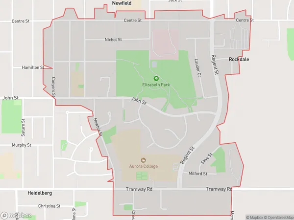
Heidelberg Area Map (Polygon)
Name
HeidelbergAdditional Name
Local Authority
Invercargill City
Heidelberg Suburbs (Sort by Population)
Heidelberg suburb has around
1.6 square
kilometers.There are more than 2563 people (estimated)
live in Heidelberg, Invercargill City, Southland, New Zealand.