Hargest Suburbs & Region, Hargest Map & Postcodes in Hargest, Invercargill City, Southland
Hargest Postcodes, Hargest ZipCodes, Hargest , Hargest Southland, Hargest Suburbs, Hargest Region, Hargest Map, Hargest Area
Hargest Region
Hargest Suburbs
Hargest is a suburb place type in Invercargill City, Southland, NZ. It contains 0 suburbs or localities.Hargest Postcodes
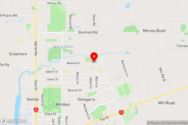
Hargest Region Map
Hargest Introduction
Hargest is a small rural community in Southland, New Zealand, located on the banks of the Mataura River. It is known for its scenic surroundings, including the Hargest Range and the Mataura Forest Park. The community has a population of around 300 people and is home to a primary school, a post office, a dairy factory, and a variety of small businesses. The area is popular with outdoor enthusiasts, with many opportunities for hiking, fishing, and hunting. The nearby town of Gore is a 45-minute drive away, and the city of Invercargill is a two-hour drive away.Hargest Region
Hargest City
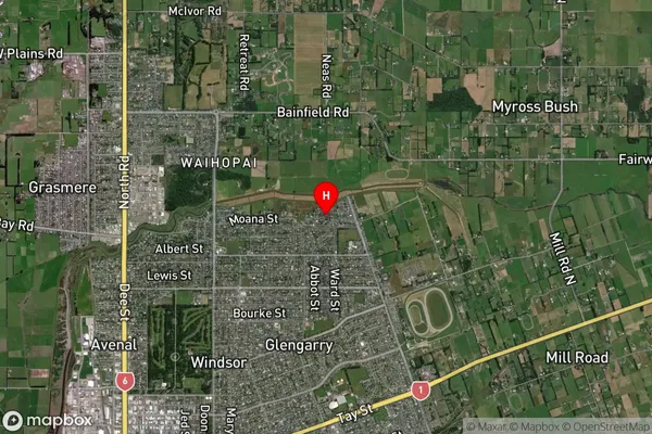
Hargest Satellite Map
Full Address
Hargest, Invercargill City, SouthlandHargest Coordinates
-46.386998,168.379151 (Latitude / Longitude)Hargest Map in NZ
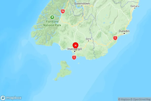
NZ Island
South IslandCountry
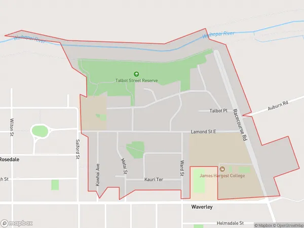
Hargest Area Map (Polygon)
Name
HargestAdditional Name
Local Authority
Invercargill City
Hargest Suburbs (Sort by Population)
Hargest suburb has around
0.7 square
kilometers.There are more than 936 people (estimated)
live in Hargest, Invercargill, Southland, New Zealand.