Clifton Suburbs & Region, Clifton Map & Postcodes in Clifton, Invercargill City, Southland
Clifton Postcodes, Clifton ZipCodes, Clifton , Clifton Southland, Clifton Suburbs, Clifton Region, Clifton Map, Clifton Area
Clifton Region
Clifton Suburbs
Clifton is a suburb place type in Invercargill City, Southland, NZ. It contains 0 suburbs or localities.Clifton Postcodes
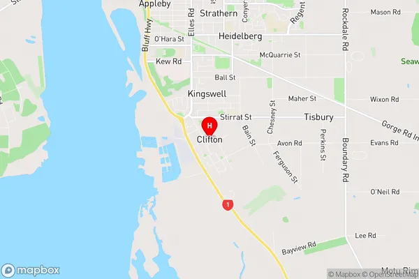
Clifton Region Map
Clifton Introduction
Clifton is a small town in Southland, New Zealand, located on the southern banks of the Mataura River. It is known for its scenic surroundings, including the Mataura Forest and the surrounding mountains. The town has a population of around 1,000 people and is a popular tourist destination, particularly for those interested in outdoor activities such as hiking, fishing, and hunting. Clifton also has a primary school, a post office, a supermarket, and a variety of other services and facilities. The town is surrounded by farmland and is located about 20 minutes from the city of Gore.Clifton Region
Clifton City
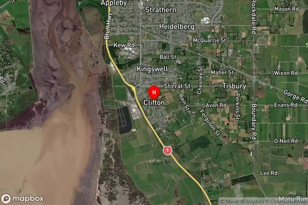
Clifton Satellite Map
Full Address
Clifton, Invercargill City, SouthlandClifton Coordinates
-46.450085,168.365918 (Latitude / Longitude)Clifton Map in NZ
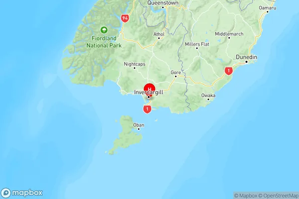
NZ Island
South IslandCountry
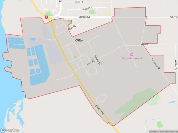
Clifton Area Map (Polygon)
Name
CliftonAdditional Name
Local Authority
Invercargill City
Clifton Suburbs (Sort by Population)
Clifton suburb has around
4.7 square
kilometers.There are more than 964 people (estimated)
live in Clifton, Invercargill City, Southland, New Zealand.