Awarua Suburbs & Region, Awarua Map & Postcodes in Awarua, Invercargill City, Southland
Awarua Postcodes, Awarua ZipCodes, Awarua , Awarua Southland, Awarua Suburbs, Awarua Region, Awarua Map, Awarua Area
Awarua Region
Awarua Suburbs
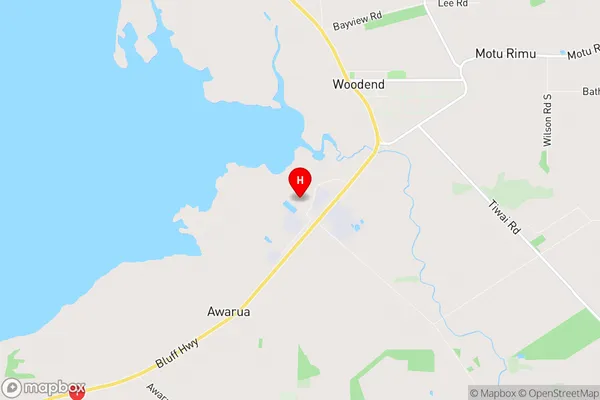
Awarua is a suburb place type in Invercargill City, Southland, NZ. It contains 0 suburbs or localities.Awarua Region Map
Awarua Introduction
Awarua is a small township on the banks of the Awarua River in Southland, New Zealand. It is known for its scenic beauty, with the Awarua Forest Park surrounding the town. The town has a population of around 1,000 people and is a popular tourist destination, with many visitors enjoying the outdoor activities on offer in the surrounding area. The town also has a primary school, a post office, a supermarket, and a variety of other services.Awarua Region
Awarua City
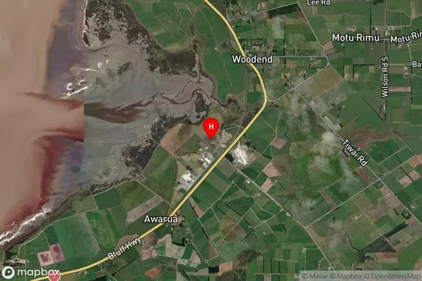
Awarua Satellite Map
Full Address
Awarua, Invercargill City, SouthlandAwarua Coordinates
-46.489674,168.378039 (Latitude / Longitude)Awarua Map in NZ
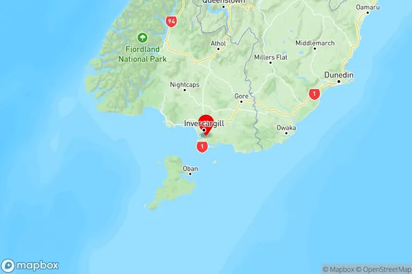
NZ Island
South IslandCountry
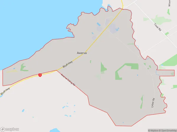
Awarua Area Map (Polygon)
Name
AwaruaAdditional Name
Local Authority
Invercargill City
Awarua Suburbs (Sort by Population)
Awarua suburb has around
26.4 square
kilometers.There are more than 51 people (estimated)
live in Awarua, Invercargill City, Southland, New Zealand.