Waikaka Suburbs & Region, Waikaka Map & Postcodes in Waikaka, Gore, Southland
Waikaka Postcodes, Waikaka ZipCodes, Waikaka , Waikaka Southland, Waikaka Suburbs, Waikaka Region, Waikaka Map, Waikaka Area
Waikaka Region
Waikaka Suburbs
Waikaka is a suburb place type in Gore, Southland, NZ. It contains 0 suburbs or localities.Waikaka Postcodes
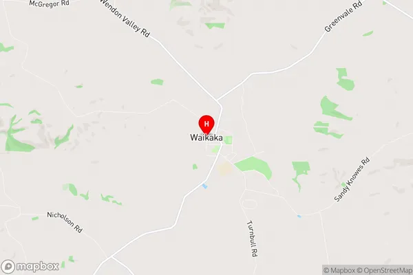
Waikaka Region Map
Waikaka Introduction
Waikaka is a small town in Southland, New Zealand, located on the banks of the Waikaka River. It is known for its stunning natural beauty, including the Waikaka Beach and the surrounding forested hills. The town has a population of around 3,000 people and is a popular destination for tourists and outdoor enthusiasts. It is also home to a number of historic buildings, including the Waikaka Hotel, which was built in 1887.Waikaka Region
Waikaka City
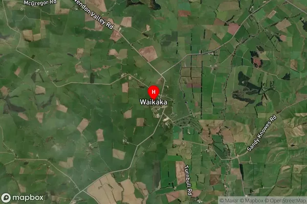
Waikaka Satellite Map
Full Address
Waikaka, Gore, SouthlandWaikaka Coordinates
-45.921166,169.011611 (Latitude / Longitude)Waikaka Map in NZ
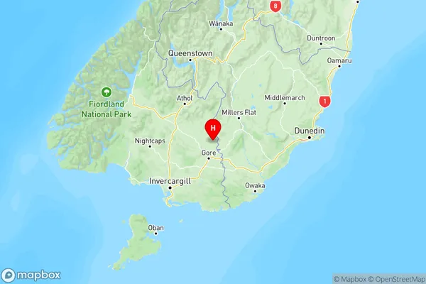
NZ Island
South IslandCountry
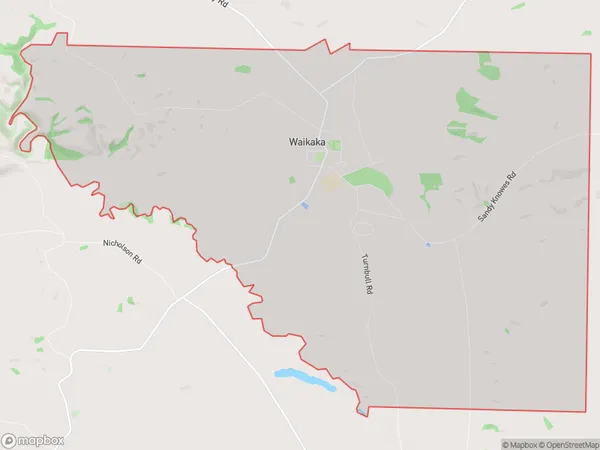
Waikaka Area Map (Polygon)
Name
WaikakaAdditional Name
Local Authority
Gore District
Waikaka Suburbs (Sort by Population)
Waikaka suburb has around
40.0 square
kilometers.There are more than 154 people (estimated)
live in Waikaka, Gore, Southland, New Zealand.