Woodhaugh Suburbs & Region, Woodhaugh Map & Postcodes in Woodhaugh, Dunedin City, Otago
Woodhaugh Postcodes, Woodhaugh ZipCodes, Woodhaugh , Woodhaugh Otago, Woodhaugh Suburbs, Woodhaugh Region, Woodhaugh Map, Woodhaugh Area
Woodhaugh Region
Woodhaugh Suburbs
Woodhaugh is a suburb place type in Dunedin City, Otago, NZ. It contains 0 suburbs or localities.Woodhaugh Postcodes
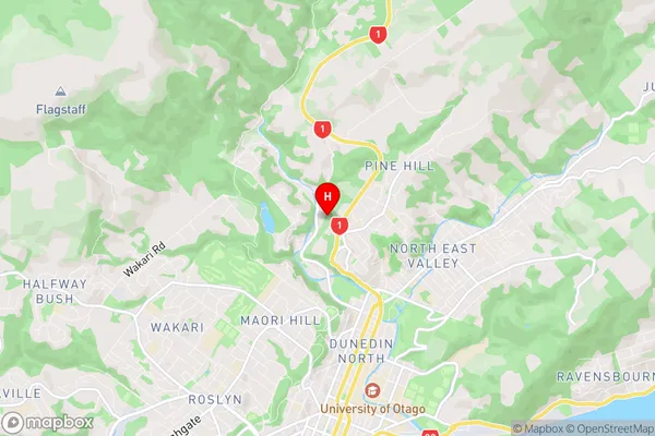
Woodhaugh Region Map
Woodhaugh Introduction
Woodhaugh is a small rural community in Otago, New Zealand. It is located in the Taieri River valley, 12 kilometers south of Dunedin, and has a population of around 100 people. The area is known for its scenic beauty, with rolling hills, lush green fields, and picturesque rivers. Woodhaugh has a primary school, a post office, and a small store. The community is surrounded by farmland and has a strong agricultural heritage. The Taieri River, which flows through the area, is a popular spot for fishing and boating. Woodhaugh is a peaceful and welcoming community, with a strong sense of community spirit. It is a great place to live and raise a family, with a relaxed and laid-back lifestyle.Woodhaugh Region
Woodhaugh City
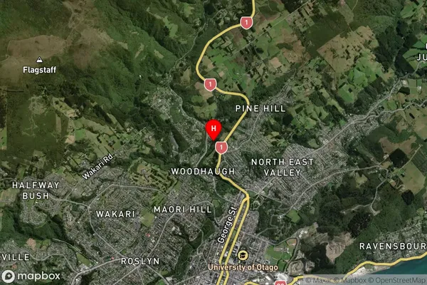
Woodhaugh Satellite Map
Full Address
Woodhaugh, Dunedin City, OtagoWoodhaugh Coordinates
-45.84659,170.508051 (Latitude / Longitude)Woodhaugh Map in NZ
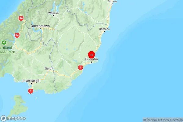
NZ Island
South IslandCountry
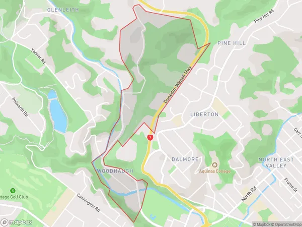
Woodhaugh Area Map (Polygon)
Name
WoodhaughAdditional Name
Local Authority
Dunedin City
Woodhaugh Suburbs (Sort by Population)
Woodhaugh suburb has around
0.9 square
kilometers.There are more than 445 people (estimated)
live in Woodhaugh, Dunedin, Otago, New Zealand.