Woodhaugh Area, Woodhaugh Postcode(9010) & Map in Woodhaugh
Woodhaugh Area, Woodhaugh Postcode(9010) & Map in Woodhaugh, Dunedin City, New Zealand
Woodhaugh, Dunedin City, New Zealand
Woodhaugh Postcodes
Woodhaugh Area (estimated)
0.9 square kilometersWoodhaugh Population (estimated)
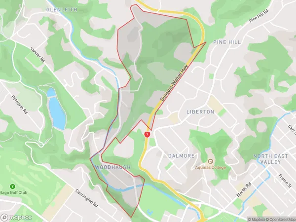
445 people live in Woodhaugh, Dunedin, NZWoodhaugh Suburb Area Map (Polygon)
Woodhaugh Introduction
Woodhaugh is a small rural community in Dunedin, Otago, New Zealand. It is located in the Taieri River valley, approximately 10 kilometers south of Dunedin city center. The area is known for its scenic countryside, with rolling hills, farms, and picturesque gardens. Woodhaugh has a primary school, a post office, and a small community hall. The community is surrounded by beautiful natural attractions, including the Taieri River, the Otago Peninsula, and the Mount Cargill Forest Park.Region
Major City
Suburb Name
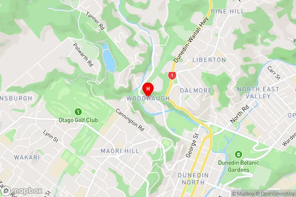
WoodhaughWoodhaugh Area Map (Street)
Local Authority
Dunedin CityFull Address
Woodhaugh, Dunedin City, New ZealandAddress Type
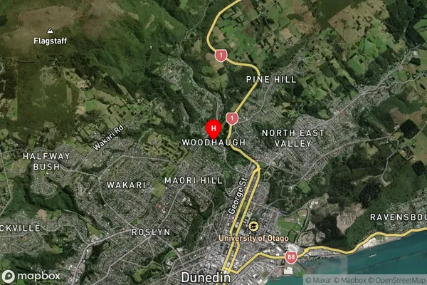
Suburb in City DunedinWoodhaugh Suburb Map (Satellite)
Country
Main Region in AU
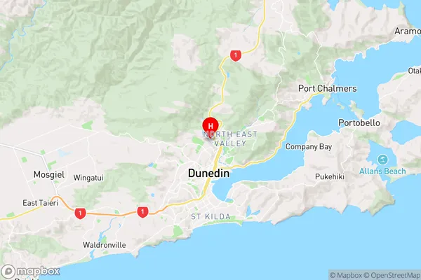
OtagoWoodhaugh Region Map
Coordinates
-45.8514626,170.5054677 (latitude/longitude)Distances
The distance from Woodhaugh, Dunedin, Dunedin City to NZ Top 10 Cities