Waipori Falls Suburbs & Region, Waipori Falls Map & Postcodes in Waipori Falls, Dunedin City, Otago
Waipori Falls Postcodes, Waipori Falls ZipCodes, Waipori Falls , Waipori Falls Otago, Waipori Falls Suburbs, Waipori Falls Region, Waipori Falls Map, Waipori Falls Area
Waipori Falls Region (Otago Goldfields Region)
Waipori Falls Suburbs
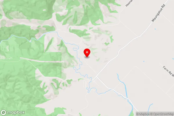
Waipori Falls is a suburb place type in Dunedin City, Otago, NZ. It contains 0 suburbs or localities.Waipori Falls Region Map
Waipori Falls Introduction
Waipori Falls is a waterfall located in the Otago region of New Zealand. It is a popular tourist attraction due to its stunning natural beauty and easy access from the town of Dunedin. The falls are approximately 100 meters high and are formed by the Waipori River, which flows into the Otago Harbour. Visitors can walk along a boardwalk to get close to the falls and enjoy the surrounding scenic views. There are also picnic areas and campgrounds nearby, making it an ideal spot for a day trip or weekend getaway.Waipori Falls Region
Waipori Falls City
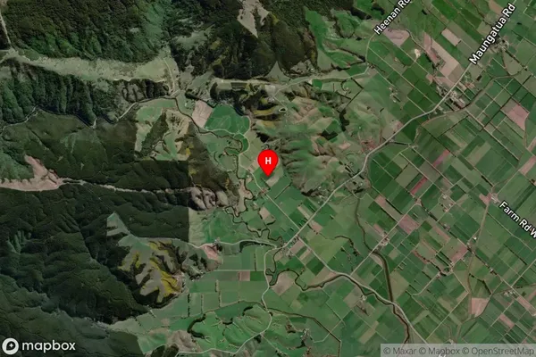
Waipori Falls Satellite Map
Full Address
Waipori Falls, Dunedin City, OtagoWaipori Falls Coordinates
-45.937155,170.099552 (Latitude / Longitude)Waipori Falls Map in NZ

NZ Island
South IslandCountry
Waipori Falls Area Map (Polygon)
Not available for nowName
Waipori FallsAdditional Name
Otago GoldfieldsLocal Authority
Clutha District
Waipori Falls Suburbs (Sort by Population)
Waipori Falls also known as Otago Goldfields. Waipori Falls suburb has around
-1.2 square
kilometers.There are more than 43 people (estimated)
live in Waipori Falls, Dunedin, Otago, New Zealand.