Waipori Falls Area, Waipori Falls Postcode & Map in Waipori Falls
Waipori Falls Area, Waipori Falls Postcode & Map in Waipori Falls, Clutha District, New Zealand
Waipori Falls, Clutha District, New Zealand
Waipori Falls Area (estimated)
-1.2 square kilometersWaipori Falls Population (estimated)
43 people live in Waipori Falls, Otago, NZWaipori Falls Suburb Area Map (Polygon)
Not available for nowWaipori Falls Introduction
Waipori Falls is a waterfall located in Outram, Otago, New Zealand. It is a popular tourist attraction and is known for its stunning natural beauty. The falls are approximately 100 meters high and are formed by the Waipori River. Visitors can walk to the base of the falls or take a short hike to a viewing platform. The area around the falls is also popular for hiking, mountain biking, and picnicking.Region
Major City
Suburb Name
Waipori FallsOther Name(s)
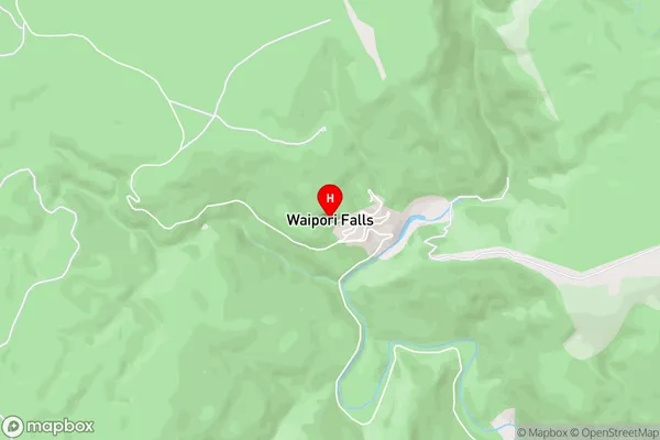
Otago GoldfieldsWaipori Falls Area Map (Street)
Local Authority
Clutha DistrictFull Address
Waipori Falls, Clutha District, New ZealandAddress Type
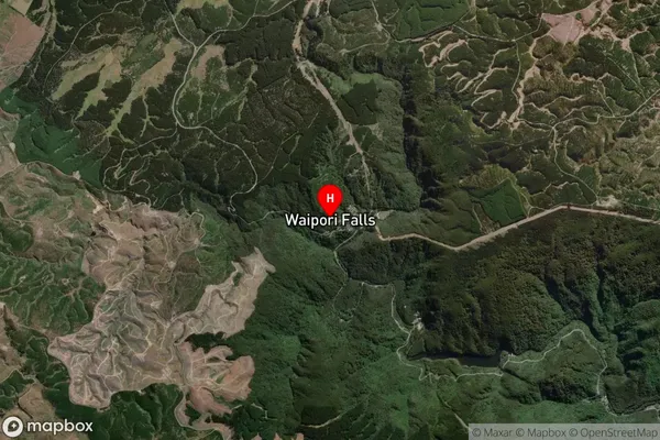
Locality in Town OutramWaipori Falls Suburb Map (Satellite)
Country
Main Region in AU
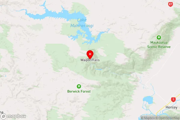
OtagoWaipori Falls Region Map
Coordinates
-45.9059628,169.9781426 (latitude/longitude)Distances
The distance from Waipori Falls, Outram, Clutha District to NZ Top 10 Cities