Vauxhall Suburbs & Region, Vauxhall Map & Postcodes in Vauxhall, Dunedin City, Otago
Vauxhall Postcodes, Vauxhall ZipCodes, Vauxhall , Vauxhall Otago, Vauxhall Suburbs, Vauxhall Region, Vauxhall Map, Vauxhall Area
Vauxhall Region
Vauxhall Suburbs
Vauxhall is a suburb place type in Dunedin City, Otago, NZ. It contains 0 suburbs or localities.Vauxhall Postcodes
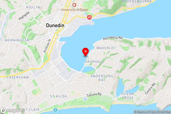
Vauxhall Region Map
Vauxhall Introduction
Vauxhall is a small town in Otago, New Zealand, located on the banks of the Clutha River. It was originally a farming community but has since developed into a residential area with a variety of shops and services. The town is known for its beautiful gardens and historic buildings, including the Vauxhall Hotel, which was built in 1864. Vauxhall also has a community hall, a library, and a sports field. The town is surrounded by stunning countryside and is a popular destination for outdoor activities such as hiking, cycling, and fishing.Vauxhall Region
Vauxhall City
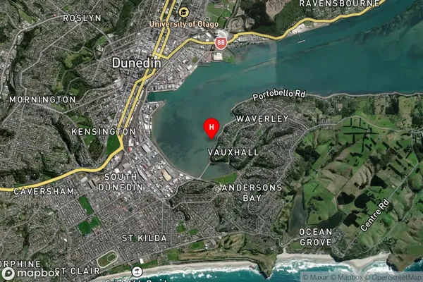
Vauxhall Satellite Map
Full Address
Vauxhall, Dunedin City, OtagoVauxhall Coordinates
-45.887349,170.521871 (Latitude / Longitude)Vauxhall Map in NZ
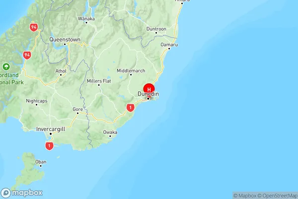
NZ Island
South IslandCountry
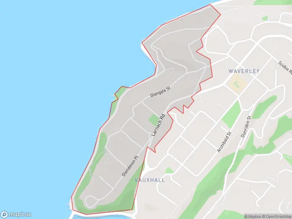
Vauxhall Area Map (Polygon)
Name
VauxhallAdditional Name
Local Authority
Dunedin City
Vauxhall Suburbs (Sort by Population)
Vauxhall suburb has around
0.5 square
kilometers.There are more than 660 people (estimated)
live in Vauxhall, Dunedin, Otago, New Zealand.