Vauxhall Area, Vauxhall Postcode(9013) & Map in Vauxhall
Vauxhall Area, Vauxhall Postcode(9013) & Map in Vauxhall, Dunedin City, New Zealand
Vauxhall, Dunedin City, New Zealand
Vauxhall Postcodes
Vauxhall Area (estimated)
0.5 square kilometersVauxhall Population (estimated)
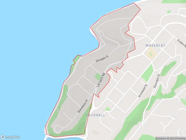
660 people live in Vauxhall, Dunedin, NZVauxhall Suburb Area Map (Polygon)
Vauxhall Introduction
Vauxhall is a suburb of Dunedin, New Zealand, located on the city's southern shore. It is known for its picturesque gardens, historic homes, and vibrant community. Vauxhall was established in the 1860s and has since grown into a popular residential area. The suburb features a variety of shops, cafes, and recreational facilities, including a golf course and a swimming pool.Region
Major City
Suburb Name
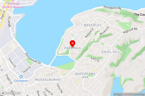
VauxhallVauxhall Area Map (Street)
Local Authority
Dunedin CityFull Address
Vauxhall, Dunedin City, New ZealandAddress Type
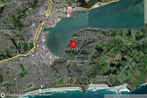
Suburb in City DunedinVauxhall Suburb Map (Satellite)
Country
Main Region in AU
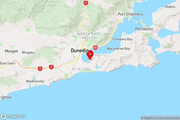
OtagoVauxhall Region Map
Coordinates
-45.889291,170.5271673 (latitude/longitude)Distances
The distance from Vauxhall, Dunedin, Dunedin City to NZ Top 10 Cities