Upper Waitati Suburbs & Region, Upper Waitati Map & Postcodes in Upper Waitati, Dunedin City, Otago
Upper Waitati Postcodes, Upper Waitati ZipCodes, Upper Waitati , Upper Waitati Otago, Upper Waitati Suburbs, Upper Waitati Region, Upper Waitati Map, Upper Waitati Area
Upper Waitati Region
Upper Waitati Suburbs
Upper Waitati is a suburb place type in Dunedin City, Otago, NZ. It contains 0 suburbs or localities.Upper Waitati Region Map
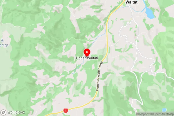
Upper Waitati Introduction
Upper Waitati is a small township located in the Otago region of New Zealand, approximately 20 kilometers south of Dunedin. It is situated on the banks of the Waitati River and is known for its scenic views, historic buildings, and vibrant community. The township was established in the 1860s and has a rich history of farming and forestry. Today, Upper Waitati is a popular tourist destination and home to a number of businesses and services. It is also home to a number of historic buildings, including the Upper Waitati Hotel, which was built in 1887. The community is known for its friendly and welcoming atmosphere, and hosts a number of events and festivals throughout the year, including the Upper Waitati Festival of Lights.Upper Waitati Region
Upper Waitati City
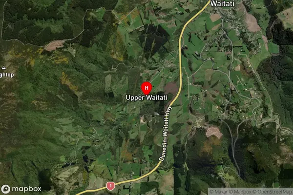
Upper Waitati Satellite Map
Full Address
Upper Waitati, Dunedin City, OtagoUpper Waitati Coordinates
-45.770965,170.546243 (Latitude / Longitude)Upper Waitati Map in NZ
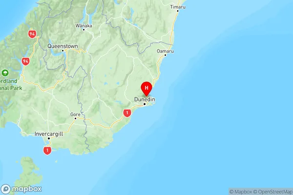
NZ Island
South IslandCountry
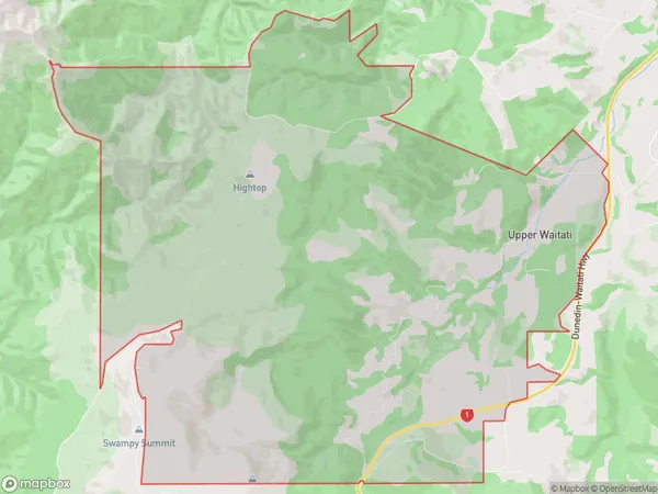
Upper Waitati Area Map (Polygon)
Name
Upper WaitatiAdditional Name
Local Authority
Dunedin City
Upper Waitati Suburbs (Sort by Population)
Upper Waitati suburb has around
38.5 square
kilometers.There are more than 90 people (estimated)
live in Upper Waitati, Dunedin, Otago, New Zealand.