Upper Waitati Area, Upper Waitati Postcode(9054) & Map in Upper Waitati
Upper Waitati Area, Upper Waitati Postcode(9054) & Map in Upper Waitati, Dunedin City, New Zealand
Upper Waitati, Dunedin City, New Zealand
Upper Waitati Postcodes
Upper Waitati Area (estimated)
38.5 square kilometersUpper Waitati Population (estimated)
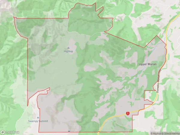
90 people live in Upper Waitati, Otago, NZUpper Waitati Suburb Area Map (Polygon)
Upper Waitati Introduction
Upper Waitati is a small township on the Otago Peninsula in New Zealand. It is located 10 kilometers north of Dunedin and 30 kilometers south of Oamaru. The township was established in the 1860s and has a population of around 1,000 people. The area is known for its scenic views, including the Otago Harbour and the surrounding hills. Upper Waitati is also home to a variety of wildlife, including seals, penguins, and albatrosses.Region
Major City
Suburb Name
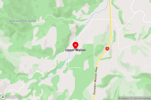
Upper WaitatiUpper Waitati Area Map (Street)
Local Authority
Dunedin CityFull Address
Upper Waitati, Dunedin City, New ZealandAddress Type
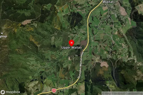
Locality in Town WaitatiUpper Waitati Suburb Map (Satellite)
Country
Main Region in AU
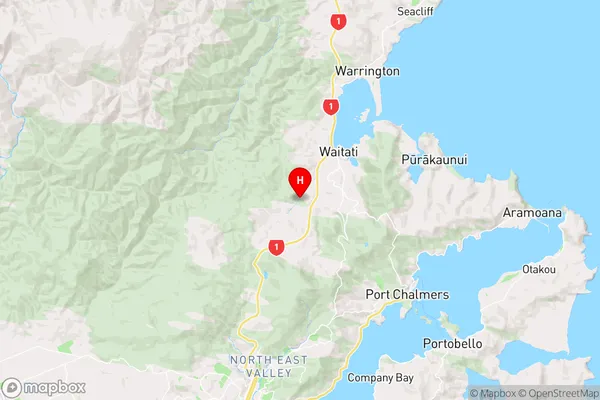
OtagoUpper Waitati Region Map
Coordinates
-45.7709653,170.5462432 (latitude/longitude)Distances
The distance from Upper Waitati, Waitati, Dunedin City to NZ Top 10 Cities