Roslyn Suburbs & Region, Roslyn Map & Postcodes in Roslyn, Dunedin City, Otago
Roslyn Postcodes, Roslyn ZipCodes, Roslyn , Roslyn Otago, Roslyn Suburbs, Roslyn Region, Roslyn Map, Roslyn Area
Roslyn Region (Littlebourne Region)
Roslyn Suburbs
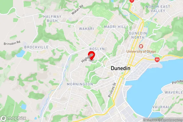
Roslyn is a suburb place type in Dunedin City, Otago, NZ. It contains 0 suburbs or localities.Roslyn Region Map
Roslyn Introduction
Roslyn is a small town in Otago, New Zealand, located on the banks of the Clutha River. It is known for its historic buildings, including the Roslyn Castle, which is a former prison. The town also has a variety of recreational facilities, including a golf course and a swimming pool. Roslyn is a popular destination for tourists and is located about 30 minutes from Dunedin, the capital city of New Zealand.Roslyn Region
Roslyn City
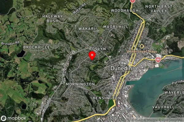
Roslyn Satellite Map
Full Address
Roslyn, Dunedin City, OtagoRoslyn Coordinates
-45.871259,170.487255 (Latitude / Longitude)Roslyn Map in NZ
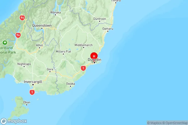
NZ Island
South IslandCountry
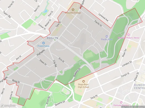
Roslyn Area Map (Polygon)
Name
RoslynAdditional Name
LittlebourneLocal Authority
Dunedin City
Roslyn Suburbs (Sort by Population)
Roslyn also known as Littlebourne. Roslyn suburb has around
1.2 square
kilometers.There are more than 2028 people (estimated)
live in Roslyn, Dunedin, Otago, New Zealand.