Roslyn Area, Roslyn Postcode(9010) & Map in Roslyn
Roslyn Area, Roslyn Postcode(9010) & Map in Roslyn, Dunedin City, New Zealand
Roslyn, Dunedin City, New Zealand
Roslyn Area (estimated)
1.2 square kilometersRoslyn Population (estimated)
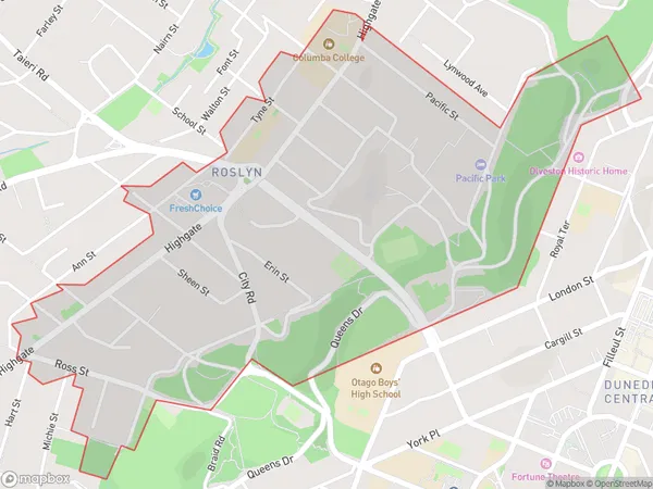
2028 people live in Roslyn, Dunedin, NZRoslyn Suburb Area Map (Polygon)
Roslyn Introduction
Roslyn is a small town in Dunedin, Otago, New Zealand. It is known for its historic buildings, including the Roslyn Castle, and for its scenic location overlooking the Otago Harbour. The town has a population of around 1,000 people and is located about 10 kilometers from Dunedin's central business district.Region
Major City
Suburb Name
RoslynOther Name(s)
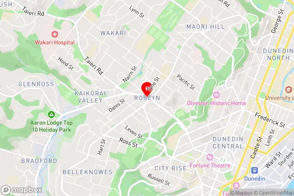
LittlebourneRoslyn Area Map (Street)
Local Authority
Dunedin CityFull Address
Roslyn, Dunedin City, New ZealandAddress Type
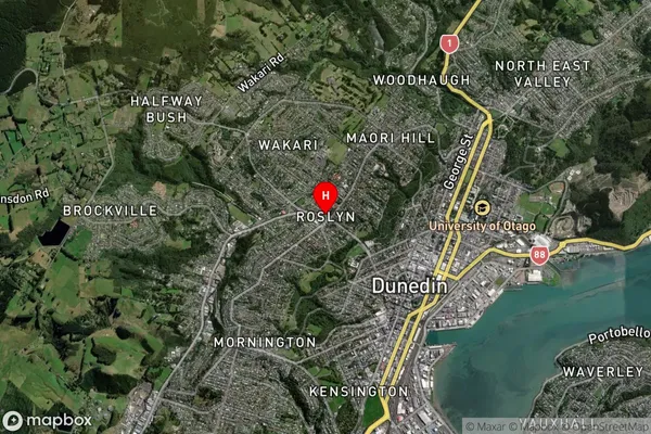
Suburb in City DunedinRoslyn Suburb Map (Satellite)
Country
Main Region in AU
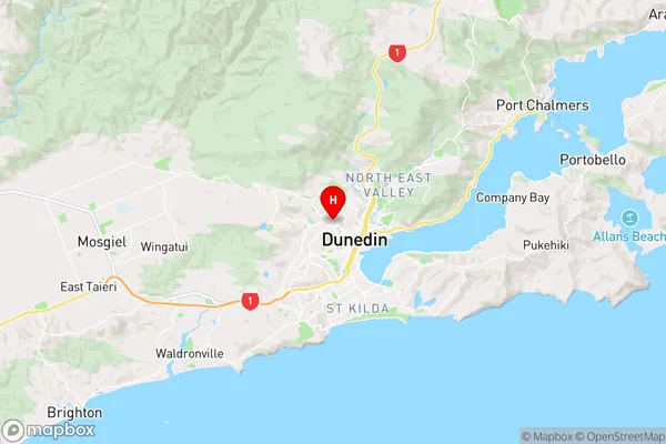
OtagoRoslyn Region Map
Coordinates
-45.8665305,170.4903244 (latitude/longitude)Distances
The distance from Roslyn, Dunedin, Dunedin City to NZ Top 10 Cities