Roseneath Suburbs & Region, Roseneath Map & Postcodes in Roseneath, Dunedin City, Otago
Roseneath Postcodes, Roseneath ZipCodes, Roseneath , Roseneath Otago, Roseneath Suburbs, Roseneath Region, Roseneath Map, Roseneath Area
Roseneath Region
Roseneath Suburbs
Roseneath is a suburb place type in Dunedin City, Otago, NZ. It contains 0 suburbs or localities.Roseneath Postcodes
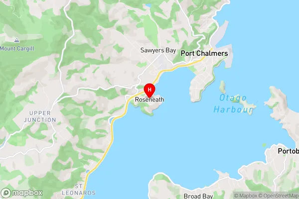
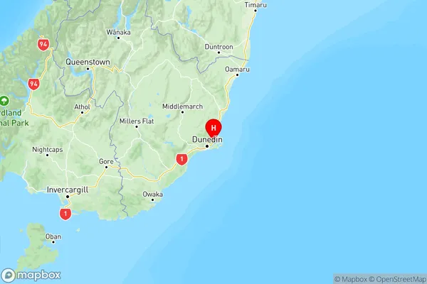
Roseneath Region Map
Roseneath Introduction
Roseneath is a small town located in the Otago region of New Zealand. It is situated on the banks of the Otago Harbour, approximately 10 kilometers south of Dunedin city center. The town has a population of around 3,500 people and is known for its picturesque scenery, historic buildings, and vibrant arts community. Roseneath is home to several notable landmarks, including the Roseneath Hotel, which was built in 1878, and the St. Paul's Cathedral, which was constructed in 1874. The town also hosts a variety of events and festivals throughout the year, including the Roseneath Festival of Arts, which is held in late February/early March.Roseneath Region
Roseneath City
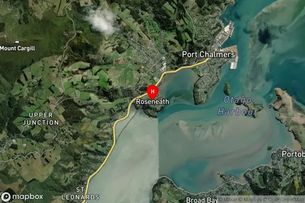
Roseneath Satellite Map
Full Address
Roseneath, Dunedin City, OtagoRoseneath Coordinates
-45.827302,170.600924 (Latitude / Longitude)Roseneath Map in NZ
NZ Island
South IslandCountry
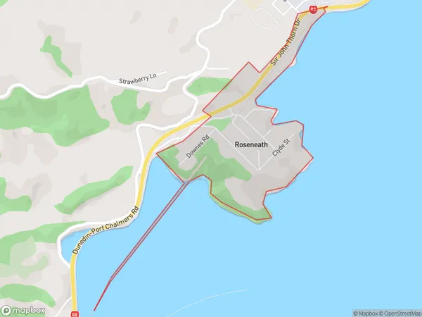
Roseneath Area Map (Polygon)
Name
RoseneathAdditional Name
Local Authority
Dunedin City
Roseneath Suburbs (Sort by Population)
Roseneath suburb has around
0.5 square
kilometers.There are more than 257 people (estimated)
live in Roseneath, Dunedin, Otago, New Zealand.