Roseneath Area, Roseneath Postcode(9023) & Map in Roseneath
Roseneath Area, Roseneath Postcode(9023) & Map in Roseneath, Dunedin City, New Zealand
Roseneath, Dunedin City, New Zealand
Roseneath Postcodes
Roseneath Area (estimated)
0.5 square kilometersRoseneath Population (estimated)
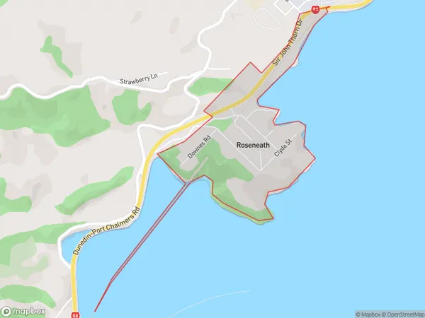
257 people live in Roseneath, Dunedin, NZRoseneath Suburb Area Map (Polygon)
Roseneath Introduction
Roseneath is a suburb of Dunedin, New Zealand, located on the city's eastern shore. It is known for its historic homes, picturesque gardens, and proximity to the Otago Harbour. The area was developed in the late 19th century and has a rich cultural heritage. Roseneath is also home to a variety of shops, restaurants, and recreational facilities, including the Roseneath Pool and the Roseneath Park Golf Course.Region
Major City
Suburb Name
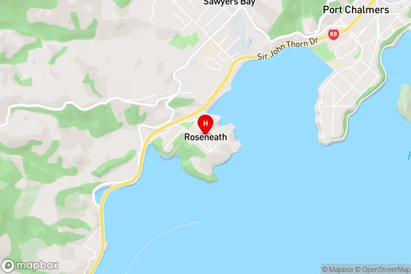
RoseneathRoseneath Area Map (Street)
Local Authority
Dunedin CityFull Address
Roseneath, Dunedin City, New ZealandAddress Type
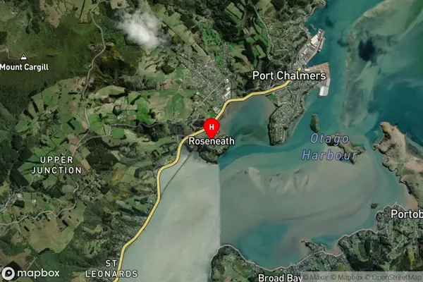
Suburb in City DunedinRoseneath Suburb Map (Satellite)
Country
Main Region in AU
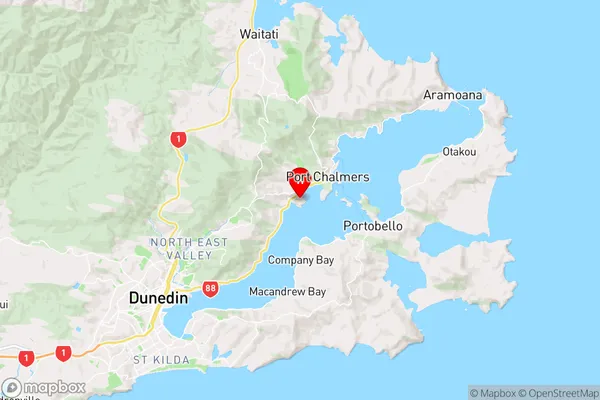
OtagoRoseneath Region Map
Coordinates
-45.8273021,170.6009244 (latitude/longitude)Distances
The distance from Roseneath, Dunedin, Dunedin City to NZ Top 10 Cities