Portobello Suburbs & Region, Portobello Map & Postcodes in Portobello, Dunedin City, Otago
Portobello Postcodes, Portobello ZipCodes, Portobello , Portobello Otago, Portobello Suburbs, Portobello Region, Portobello Map, Portobello Area
Portobello Region
Portobello Suburbs
Portobello is a suburb place type in Dunedin City, Otago, NZ. It contains 0 suburbs or localities.Portobello Region Map
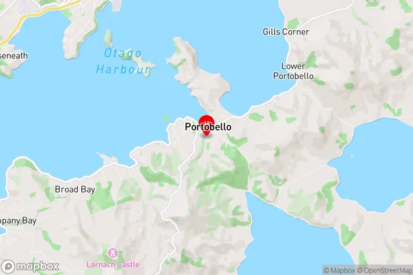
Portobello Introduction
Portobello is a suburb of Dunedin, New Zealand, located on the eastern coast of the Otago Peninsula. It is known for its historic buildings, including the Portobello Marine Reserve, the Portobello Lighthouse, and the Portobello Town Hall. The suburb has a population of around 2,000 people and is popular with tourists and locals alike. It is also home to a variety of shops, cafes, and restaurants, as well as a community center and library. Portobello is located about 10 kilometers from Dunedin's central business district and is easily accessible by car or public transportation.Portobello Region
Portobello City
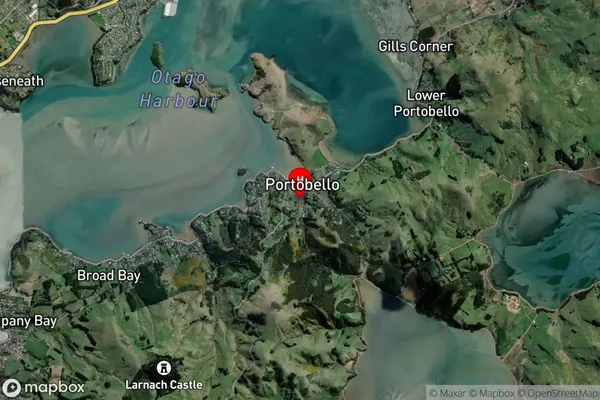
Portobello Satellite Map
Full Address
Portobello, Dunedin City, OtagoPortobello Coordinates
-45.841557,170.650539 (Latitude / Longitude)Portobello Map in NZ
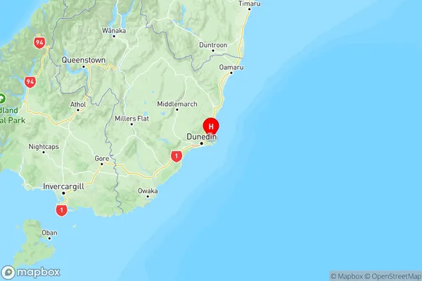
NZ Island
South IslandCountry
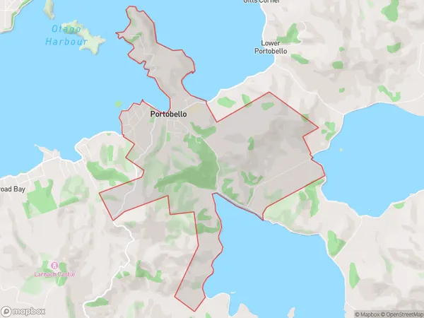
Portobello Area Map (Polygon)
Name
PortobelloAdditional Name
Local Authority
Dunedin City
Portobello Suburbs (Sort by Population)
Portobello suburb has around
7.5 square
kilometers.There are more than 681 people (estimated)
live in Portobello, Dunedin, Otago, New Zealand.