Portobello Area, Portobello Postcode(9023) & Map in Portobello
Portobello Area, Portobello Postcode(9023) & Map in Portobello, Dunedin City, New Zealand
Portobello, Dunedin City, New Zealand
Portobello Area (estimated)
7.5 square kilometersPortobello Population (estimated)
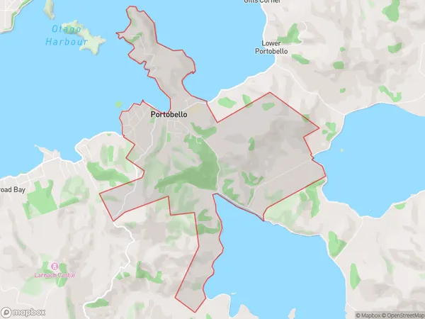
681 people live in Portobello, Otago, NZPortobello Suburb Area Map (Polygon)
Portobello Introduction
Portobello is a suburb of Dunedin, New Zealand, located on the city's eastern coast. It is known for its historic buildings, vibrant community, and popular beach. The suburb has a population of around 20,000 people and is a popular destination for tourists and locals alike.Region
Major City
Suburb Name
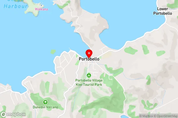
PortobelloPortobello Area Map (Street)
Local Authority
Dunedin CityFull Address
Portobello, Dunedin City, New ZealandAddress Type
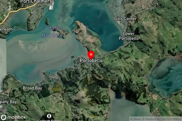
Suburb in City DunedinPortobello Suburb Map (Satellite)
Country
Main Region in AU
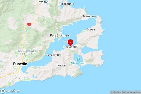
OtagoPortobello Region Map
Coordinates
-45.8396943,170.6508841 (latitude/longitude)Distances
The distance from Portobello, Dunedin, Dunedin City to NZ Top 10 Cities