Opoho Suburbs & Region, Opoho Map & Postcodes in Opoho, Dunedin City, Otago
Opoho Postcodes, Opoho ZipCodes, Opoho , Opoho Otago, Opoho Suburbs, Opoho Region, Opoho Map, Opoho Area
Opoho Region
Opoho Suburbs
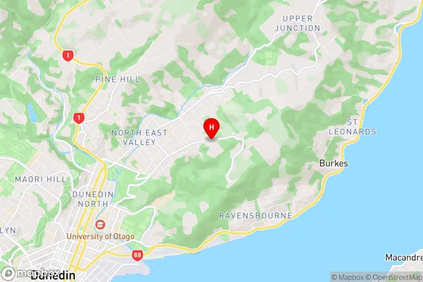
Opoho is a suburb place type in Dunedin City, Otago, NZ. It contains 0 suburbs or localities.Opoho Region Map
Opoho Introduction
Opoho is a small town in Otago, New Zealand, located on the banks of the Opoho River. It is known for its historic stone buildings and scenic surroundings, including the Opoho Forest and the Taieri Gorge. The town has a population of around 2,000 people and is a popular tourist destination, particularly for outdoor activities such as hiking, fishing, and skiing. The town also has a primary school, a post office, a supermarket, and a variety of cafes and restaurants.Opoho Region
Opoho City
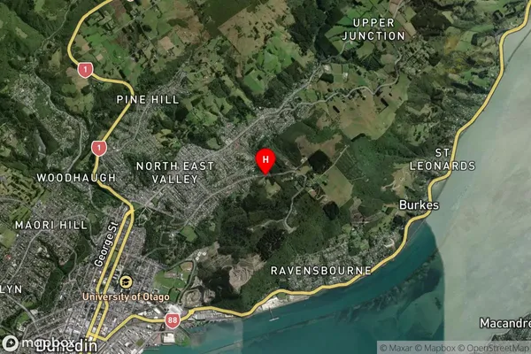
Opoho Satellite Map
Full Address
Opoho, Dunedin City, OtagoOpoho Coordinates
-45.85134,170.542225 (Latitude / Longitude)Opoho Map in NZ
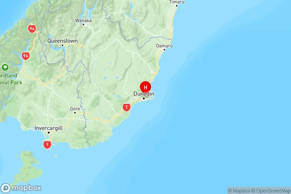
NZ Island
South IslandCountry
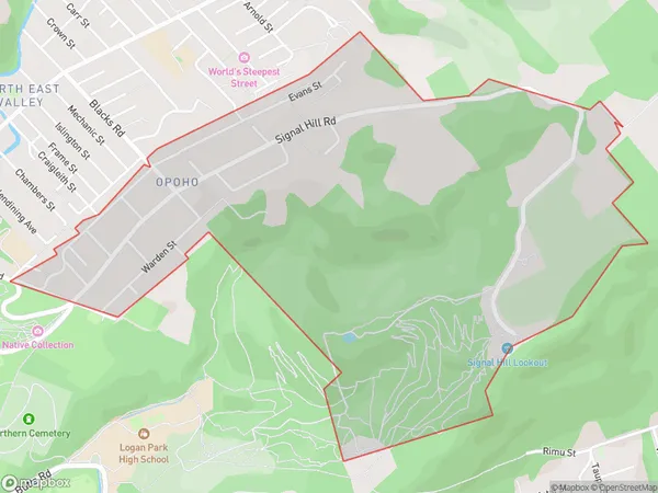
Opoho Area Map (Polygon)
Name
OpohoAdditional Name
Local Authority
Dunedin City
Opoho Suburbs (Sort by Population)
Opoho suburb has around
1.9 square
kilometers.There are more than 1340 people (estimated)
live in Opoho, Dunedin, Otago, New Zealand.