Opoho Area, Opoho Postcode(9010) & Map in Opoho
Opoho Area, Opoho Postcode(9010) & Map in Opoho, Dunedin City, New Zealand
Opoho, Dunedin City, New Zealand
Opoho Area (estimated)
1.9 square kilometersOpoho Population (estimated)
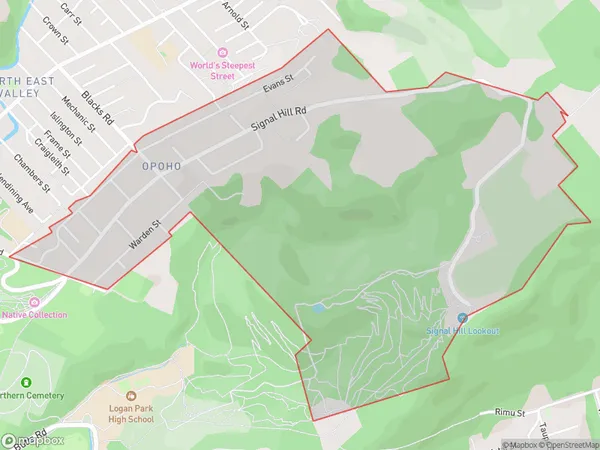
1340 people live in Opoho, Dunedin, NZOpoho Suburb Area Map (Polygon)
Opoho Introduction
Opoho is a small town in Dunedin, Otago, New Zealand. It is located on the Taieri River, 10 km south of Dunedin city center. The town has a population of around 1,200 people and is known for its scenic surroundings, including the Taieri Gorge and the Opoho Forest. Opoho is also home to a variety of recreational facilities, including a golf course, a swimming pool, and a sports park.Region
Major City
Suburb Name
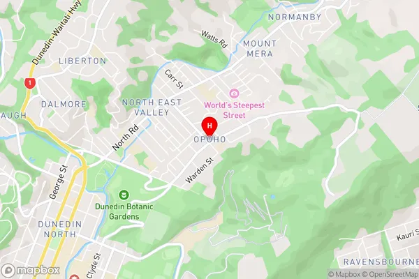
OpohoOpoho Area Map (Street)
Local Authority
Dunedin CityFull Address
Opoho, Dunedin City, New ZealandAddress Type
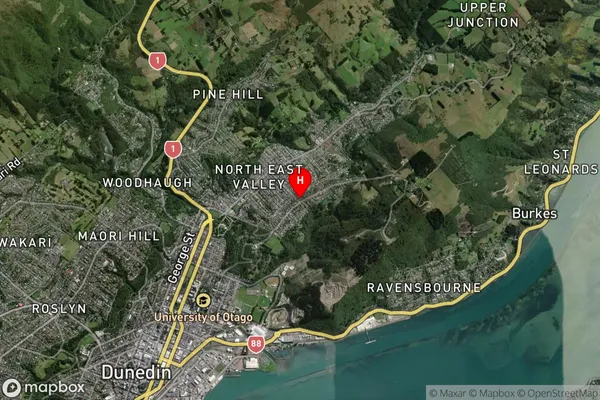
Suburb in City DunedinOpoho Suburb Map (Satellite)
Country
Main Region in AU
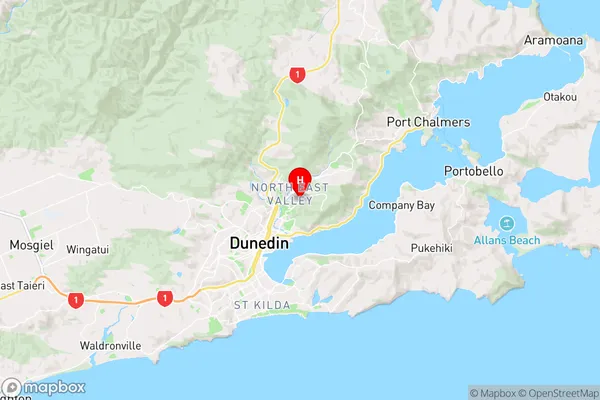
OtagoOpoho Region Map
Coordinates
-45.8535139,170.5317325 (latitude/longitude)Distances
The distance from Opoho, Dunedin, Dunedin City to NZ Top 10 Cities