Normanby Suburbs & Region, Normanby Map & Postcodes in Normanby, Dunedin City, Otago
Normanby Postcodes, Normanby ZipCodes, Normanby , Normanby Otago, Normanby Suburbs, Normanby Region, Normanby Map, Normanby Area
Normanby Region
Normanby Suburbs
Normanby is a suburb place type in Dunedin City, Otago, NZ. It contains 0 suburbs or localities.Normanby Postcodes
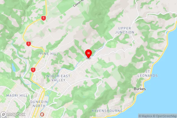
Normanby Region Map
Normanby Introduction
Normanby is a small township located in the Otago region of New Zealand. It is situated on the banks of the Taieri River, approximately 20 kilometers south of Dunedin. The township was named after Sir William Normanby, a British diplomat who served in New Zealand during the 19th century. Normanby is a popular destination for outdoor enthusiasts, with numerous hiking and biking trails in the surrounding area. The town also has a golf course, a swimming pool, and a community hall. The population of Normanby is approximately 200 people, and the township has a strong sense of community.Normanby Region
Normanby City
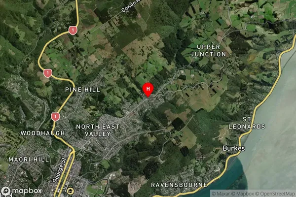
Normanby Satellite Map
Full Address
Normanby, Dunedin City, OtagoNormanby Coordinates
-45.843027,170.542152 (Latitude / Longitude)Normanby Map in NZ
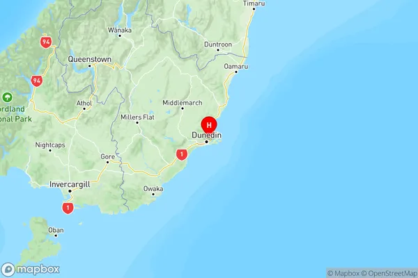
NZ Island
South IslandCountry
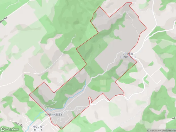
Normanby Area Map (Polygon)
Name
NormanbyAdditional Name
Local Authority
Dunedin City
Normanby Suburbs (Sort by Population)
Normanby suburb has around
3.3 square
kilometers.There are more than 699 people (estimated)
live in Normanby, Dunedin, Otago, New Zealand.