Normanby Area, Normanby Postcode(9059) & Map in Normanby
Normanby Area, Normanby Postcode(9059) & Map in Normanby, Dunedin City, New Zealand
Normanby, Dunedin City, New Zealand
Normanby Area (estimated)
3.3 square kilometersNormanby Population (estimated)
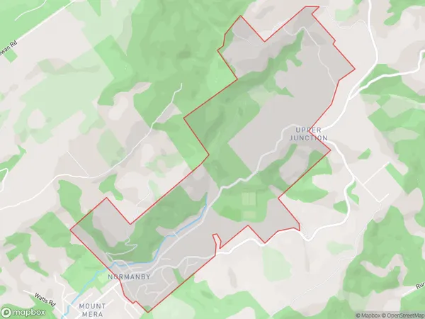
699 people live in Normanby, Dunedin, NZNormanby Suburb Area Map (Polygon)
Normanby Introduction
Normanby is a suburb of Dunedin, New Zealand, located 5 km south of the city center. It is known for its historic homes, beautiful parks, and peaceful atmosphere. The area was developed in the late 19th century and named after Sir William Normanby, a prominent politician and judge. Normanby has a population of around 2,000 people and is home to a variety of shops, cafes, and restaurants. The suburb is also well-known for its annual Normanby Fair, which attracts thousands of visitors each year.Region
Major City
Suburb Name
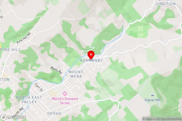
NormanbyNormanby Area Map (Street)
Local Authority
Dunedin CityFull Address
Normanby, Dunedin City, New ZealandAddress Type
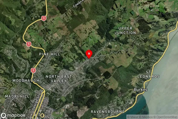
Suburb in City DunedinNormanby Suburb Map (Satellite)
Country
Main Region in AU
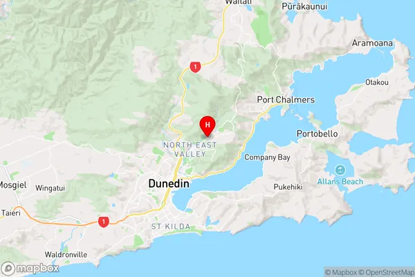
OtagoNormanby Region Map
Coordinates
-45.8430273,170.5421524 (latitude/longitude)Distances
The distance from Normanby, Dunedin, Dunedin City to NZ Top 10 Cities