Liberton Suburbs & Region, Liberton Map & Postcodes in Liberton, Dunedin City, Otago
Liberton Postcodes, Liberton ZipCodes, Liberton , Liberton Otago, Liberton Suburbs, Liberton Region, Liberton Map, Liberton Area
Liberton Region
Liberton Suburbs
Liberton is a suburb place type in Dunedin City, Otago, NZ. It contains 0 suburbs or localities.Liberton Postcodes
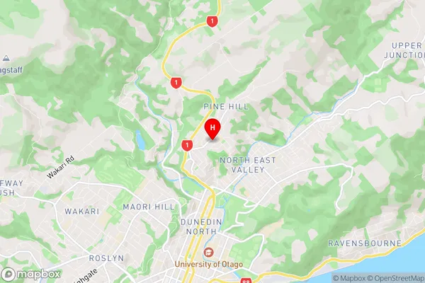
Liberton Region Map
Liberton Introduction
Liberton is a small township located in the Otago region of New Zealand. It is situated approximately 10 kilometers south of Dunedin city center and is part of the Dunedin City Council area. The township was established in the 1860s and was named after the Scottish town of Liberton. It is known for its historic buildings, including the Liberton Church, which was built in 1871. Liberton has a population of around 2,000 people and is a popular residential area due to its peaceful atmosphere and proximity to the city. The area is also home to a number of parks and recreational facilities, including the Liberton Reserve and the Liberton Golf Club.Liberton Region
Liberton City
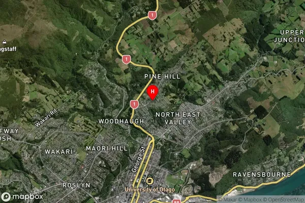
Liberton Satellite Map
Full Address
Liberton, Dunedin City, OtagoLiberton Coordinates
-45.846784,170.516081 (Latitude / Longitude)Liberton Map in NZ
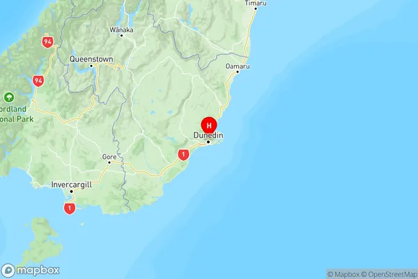
NZ Island
South IslandCountry
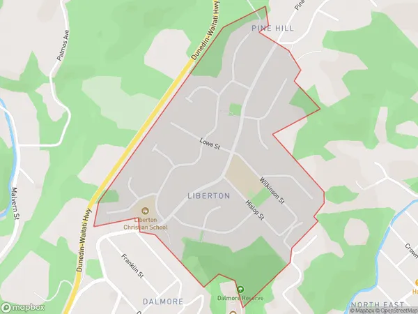
Liberton Area Map (Polygon)
Name
LibertonAdditional Name
Local Authority
Dunedin City
Liberton Suburbs (Sort by Population)
Liberton suburb has around
0.7 square
kilometers.There are more than 1167 people (estimated)
live in Liberton, Dunedin, Otago, New Zealand.