Liberton Area, Liberton Postcode(9010) & Map in Liberton
Liberton Area, Liberton Postcode(9010) & Map in Liberton, Dunedin City, New Zealand
Liberton, Dunedin City, New Zealand
Liberton Postcodes
Liberton Area (estimated)
0.7 square kilometersLiberton Population (estimated)
1167 people live in Liberton, Dunedin, NZLiberton Suburb Area Map (Polygon)
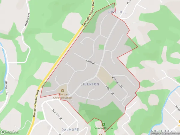
Liberton Introduction
Liberton is a suburb of Dunedin, New Zealand, located 5 km south of the city center. It is known for its historic homes and gardens, as well as its peaceful atmosphere. The suburb was named after the Scottish town of Liberton, and it was established in the 1870s. Liberton has a population of around 3,000 people and is home to a variety of shops, cafes, and restaurants. It also has a community center, library, and sports facilities.Region
Major City
Suburb Name
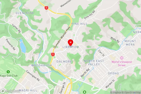
LibertonLiberton Area Map (Street)
Local Authority
Dunedin CityFull Address
Liberton, Dunedin City, New ZealandAddress Type
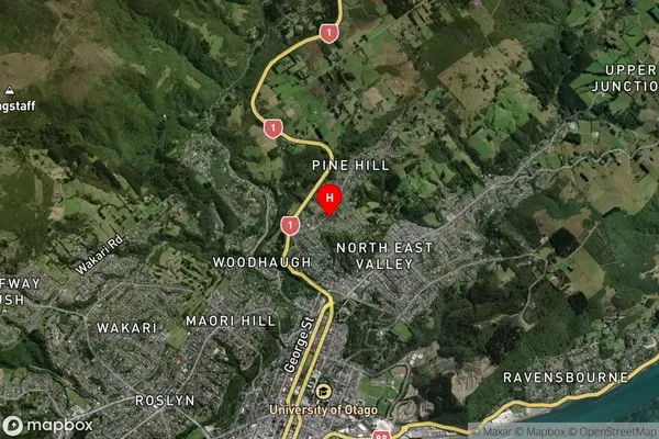
Suburb in City DunedinLiberton Suburb Map (Satellite)
Country
Main Region in AU
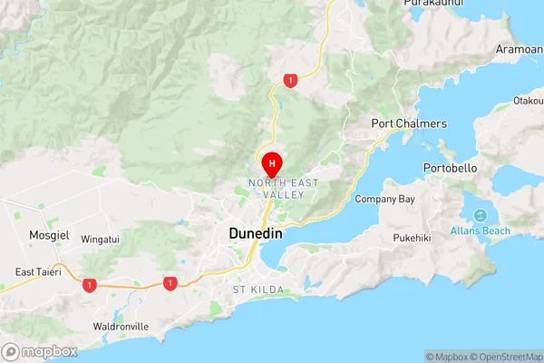
OtagoLiberton Region Map
Coordinates
-45.8467845,170.5160812 (latitude/longitude)Distances
The distance from Liberton, Dunedin, Dunedin City to NZ Top 10 Cities