East Taieri Suburbs & Region, East Taieri Map & Postcodes in East Taieri, Dunedin City, Otago
East Taieri Postcodes, East Taieri ZipCodes, East Taieri , East Taieri Otago, East Taieri Suburbs, East Taieri Region, East Taieri Map, East Taieri Area
East Taieri Region
East Taieri Suburbs
East Taieri is a suburb place type in Dunedin City, Otago, NZ. It contains 0 suburbs or localities.East Taieri Postcodes
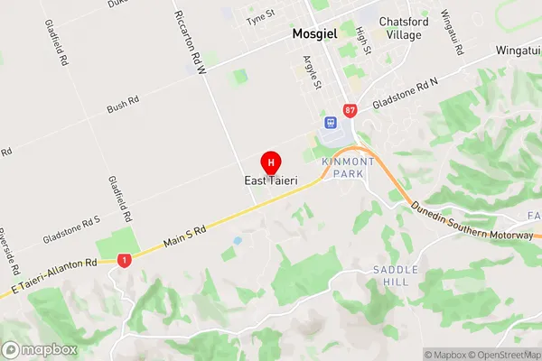
East Taieri Region Map
East Taieri Introduction
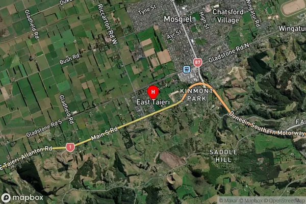
East Taieri is a small rural community located in the Taieri Plains of Otago, New Zealand. It is situated approximately 20 kilometers southeast of Dunedin, the capital city of Otago. The area is known for its scenic landscapes, including rolling hills, farmland, and the Taieri River. East Taieri has a population of around 1,000 people and is home to a variety of businesses, including a primary school, a post office, a convenience store, and a tavern. The community is also home to a number of historic buildings, including the Taieri River Bridge, which was built in 1912. The area is popular with outdoor enthusiasts, who enjoy activities such as hiking, cycling, and fishing in the nearby Taieri River and surrounding areas.East Taieri Region
East Taieri City
East Taieri Satellite Map
Full Address
East Taieri, Dunedin City, OtagoEast Taieri Coordinates
-45.894425,170.339051 (Latitude / Longitude)East Taieri Map in NZ
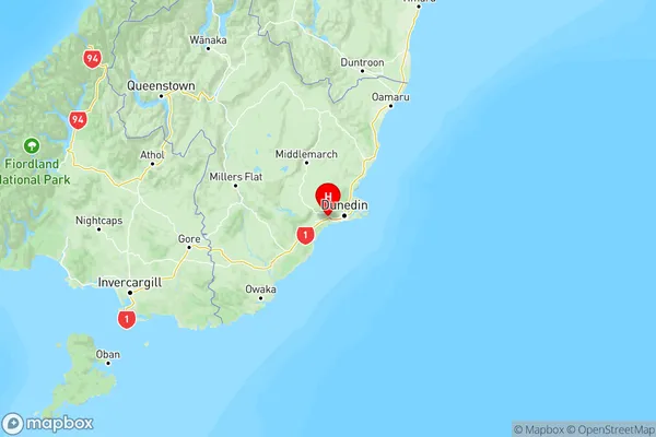
NZ Island
South IslandCountry
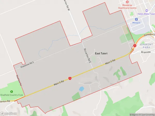
East Taieri Area Map (Polygon)
Name
East TaieriAdditional Name
Local Authority
Dunedin City
East Taieri Suburbs (Sort by Population)
East Taieri suburb has around
6.3 square
kilometers.There are more than 763 people (estimated)
live in East Taieri, Dunedin, Otago, New Zealand.