Corstorphine Suburbs & Region, Corstorphine Map & Postcodes in Corstorphine, Dunedin City, Otago
Corstorphine Postcodes, Corstorphine ZipCodes, Corstorphine , Corstorphine Otago, Corstorphine Suburbs, Corstorphine Region, Corstorphine Map, Corstorphine Area
Corstorphine Region
Corstorphine Suburbs
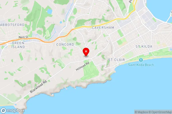
Corstorphine is a suburb place type in Dunedin City, Otago, NZ. It contains 0 suburbs or localities.Corstorphine Region Map
Corstorphine Introduction
Corstorphine is a suburb of Dunedin, New Zealand. It is located on the southern side of the city, approximately 5 km from the central business district. The suburb has a population of around 10,000 people and is known for its historic homes, peaceful atmosphere, and proximity to the Otago Peninsula. Corstorphine has a variety of shops, cafes, and restaurants, as well as a medical center and a library. The suburb is also home to a number of parks and recreational facilities, including the Corstorphine Lake and the Corstorphine Park.Corstorphine Region
Corstorphine City
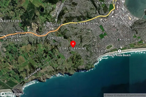
Corstorphine Satellite Map
Full Address
Corstorphine, Dunedin City, OtagoCorstorphine Coordinates
-45.908223,170.470862 (Latitude / Longitude)Corstorphine Map in NZ
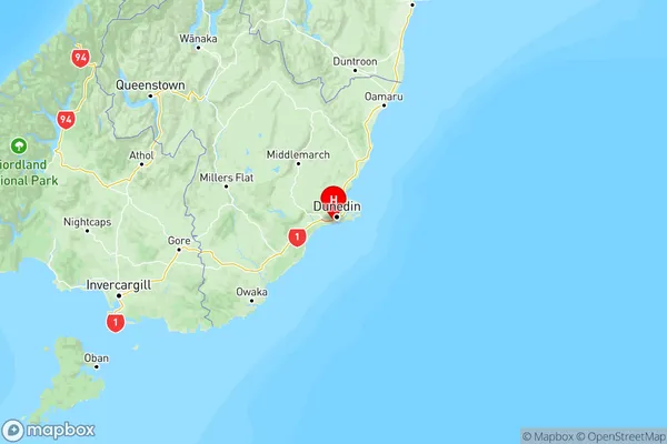
NZ Island
South IslandCountry
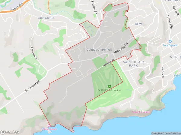
Corstorphine Area Map (Polygon)
Name
CorstorphineAdditional Name
Local Authority
Dunedin City
Corstorphine Suburbs (Sort by Population)
Corstorphine suburb has around
2.3 square
kilometers.There are more than 1978 people (estimated)
live in Corstorphine, Dunedin, Otago, New Zealand.