Corstorphine Area, Corstorphine Postcode(9012) & Map in Corstorphine
Corstorphine Area, Corstorphine Postcode(9012) & Map in Corstorphine, Dunedin City, New Zealand
Corstorphine, Dunedin City, New Zealand
Corstorphine Area (estimated)
2.3 square kilometersCorstorphine Population (estimated)
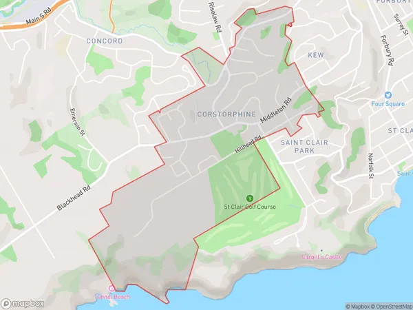
1978 people live in Corstorphine, Dunedin, NZCorstorphine Suburb Area Map (Polygon)
Corstorphine Introduction
Corstorphine is a suburb of Dunedin, New Zealand, located to the southwest of the city center. It is known for its historic homes, peaceful atmosphere, and proximity to the University of Otago. The suburb has a variety of shops, cafes, and recreational facilities, including the Corstorphine Park and the Corstorphine Library.Region
Major City
Suburb Name
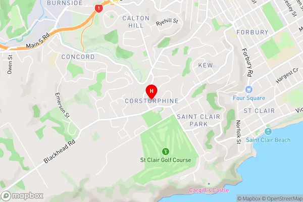
CorstorphineCorstorphine Area Map (Street)
Local Authority
Dunedin CityFull Address
Corstorphine, Dunedin City, New ZealandAddress Type
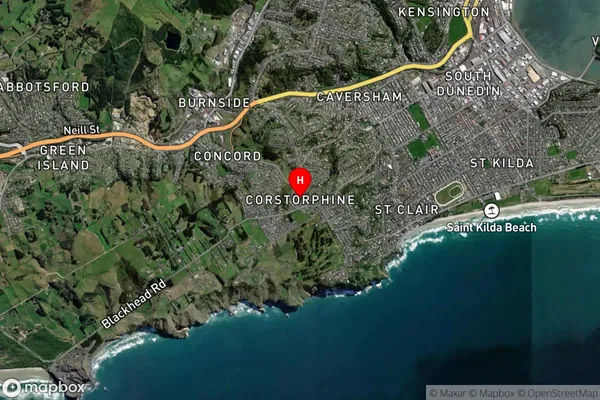
Suburb in City DunedinCorstorphine Suburb Map (Satellite)
Country
Main Region in AU
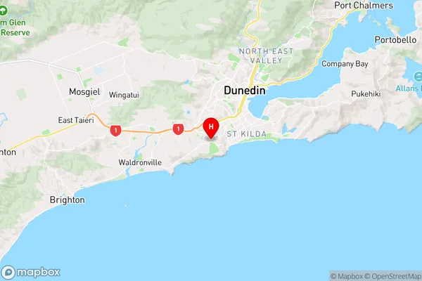
OtagoCorstorphine Region Map
Coordinates
-45.9082226,170.4708623 (latitude/longitude)Distances
The distance from Corstorphine, Dunedin, Dunedin City to NZ Top 10 Cities