Aramoana Suburbs & Region, Aramoana Map & Postcodes in Aramoana, Dunedin City, Otago
Aramoana Postcodes, Aramoana ZipCodes, Aramoana , Aramoana Otago, Aramoana Suburbs, Aramoana Region, Aramoana Map, Aramoana Area
Aramoana Region
Aramoana Suburbs
Aramoana is a suburb place type in Dunedin City, Otago, NZ. It contains 0 suburbs or localities.Aramoana Postcodes
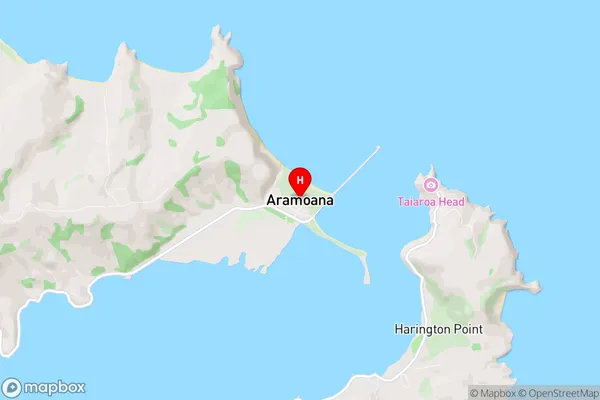
Aramoana Region Map
Aramoana Introduction
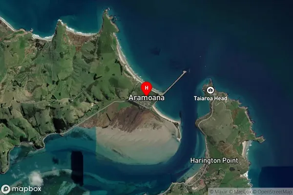
Aramoana is a small coastal settlement in Otago, New Zealand. It is located on the eastern coast of the Otago Peninsula and is known for its stunning beaches, clear waters, and rugged coastline. The settlement has a population of around 1,000 people and is a popular destination for tourists and outdoor enthusiasts. The area is also home to a number of historic buildings, including the Aramoana Stone Store, which is a former general store and is now a museum. Aramoana is surrounded by a number of natural attractions, including the Aramoana Beach, the Otago Peninsula, and the Otago Harbour. The beach is a popular spot for swimming, surfing, and fishing, and the peninsula is a popular hiking and biking destination. The harbour is a working fishing port and is home to a number of seafood restaurants and cafes.Aramoana Region
Aramoana City
Aramoana Satellite Map
Full Address
Aramoana, Dunedin City, OtagoAramoana Coordinates
-45.77694,170.705848 (Latitude / Longitude)Aramoana Map in NZ
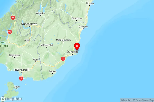
NZ Island
South IslandCountry
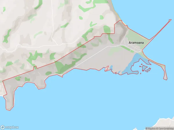
Aramoana Area Map (Polygon)
Name
AramoanaAdditional Name
Local Authority
Dunedin City
Aramoana Suburbs (Sort by Population)
Aramoana suburb has around
4.2 square
kilometers.There are more than 196 people (estimated)
live in Aramoana, Dunedin, Otago, New Zealand.