Aramoana Area, Aramoana Postcode(9082) & Map in Aramoana
Aramoana Area, Aramoana Postcode(9082) & Map in Aramoana, Dunedin City, New Zealand
Aramoana, Dunedin City, New Zealand
Aramoana Postcodes
Aramoana Area (estimated)
4.2 square kilometersAramoana Population (estimated)
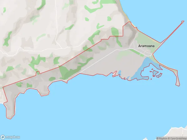
196 people live in Aramoana, Otago, NZAramoana Suburb Area Map (Polygon)
Aramoana Introduction
Aramoana is a small coastal settlement in Otago, New Zealand. It is known for its stunning beaches, clear waters, and unique geological features. The area is popular with tourists and has a variety of accommodation options, including hotels, resorts, and holiday homes. Aramoana is also home to a large fishing industry, with many fishermen working in the surrounding waters. The settlement has a strong community spirit and hosts a variety of events and festivals throughout the year, including the Aramoana Classic Boat Race and the Aramoana Seafood Festival.Region
Major City
Suburb Name
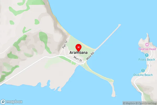
AramoanaAramoana Area Map (Street)
Local Authority
Dunedin CityFull Address
Aramoana, Dunedin City, New ZealandAddress Type
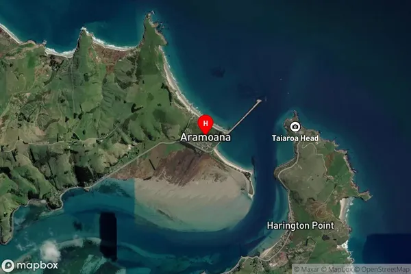
Locality in Major Locality Port ChalmersAramoana Suburb Map (Satellite)
Country
Main Region in AU
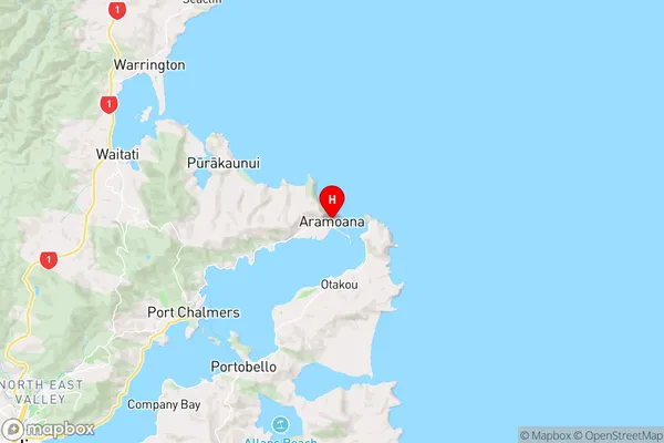
OtagoAramoana Region Map
Coordinates
-45.7769399,170.7058483 (latitude/longitude)Distances
The distance from Aramoana, Port Chalmers, Dunedin City to NZ Top 10 Cities